
Lake Champlain Boat Launch near Ecole Champlain
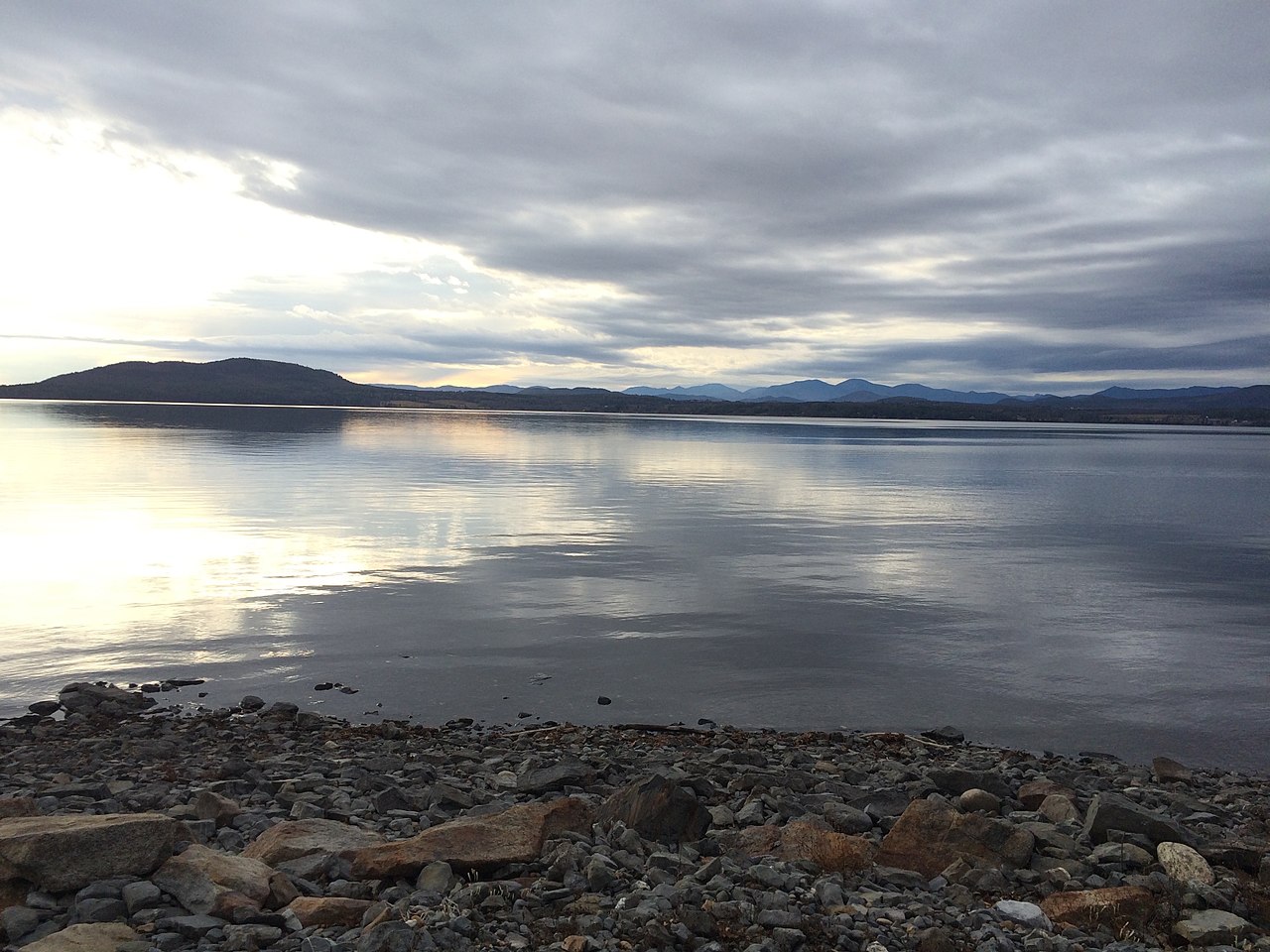
This is a public boat ramp on Lake Champlain near Ecole Champlain, Vermont, run by Vermont Forests.
Zebra mussels (latest report 1997) reported in Lake Champlain 1.2 km from this launch (USGS Nonindigenous Aquatic Species database). Clean, drain and dry your boat, trailer and gear before you leave, and do not move water, plants or live bait to another water.
USGS Nonindigenous Aquatic Species database · checked October 20, 2026
Harmful algal blooms reported on Lake Champlain 2.2 km from this launch (state reports compiled by U.S. EPA): 2020.
state reports compiled by U.S. EPA · checked October 20, 2026
Status not reported No closure has been posted for this launch, but its agency does not publish open or closed status. Check with the managing agency before you tow.
At the launch
- Type
- Boat ramp
- Managed by
- Vermont Forests
- Coordinates
- 44.23677, -73.30159
Directions (Google) Apple Maps
This launch has no official name in our sources; the name above describes where it is.
Boating rules
- Personal watercraft allowed; see Section 3 of the Vermont Use of Public Waters Rules · all of Lake Champlain rule
From the boating rules map of Vermont Agency of Natural Resources, Department of Environmental Conservation, read October 19, 2026. A map of rules is a guide: the regulation's text and the posted signs govern.
Conditions
- Weather forecast for this launch · National Weather Service
On Lake Champlain
Lake Champlain is a large natural freshwater lake lying mostly between Vermont and New York and extending north into Quebec. It is 107 miles long and up to 14 miles wide, covers about 514 square miles, averages 64 feet deep and reaches a maximum depth of 400 feet, with 587 miles of shoreline. Burlington, Vermont, and Plattsburgh, New York, are the largest settlements on the lake. Its roughly 80 islands include Grand Isle, North Hero and Isle La Motte, all in Grand Isle County, Vermont. Inflows include Otter Creek and the Winooski, Missisquoi, Lamoille and Poultney rivers. The lake drains north through the Richelieu River to the St. Lawrence and connects to the Hudson River by the Champlain Canal. More about Lake Champlain.
Boating rules on Lake Champlain
Community
Where people who use Lake Champlain talk about it.
- Lake Champlain Committee Association
- Lake Champlain Basin Program Association
- Lake Champlain - Vermont Department of Environmental Conservation Agency
- Lake Champlain United - Forums (active 2026) Forum
- Lake Champlain United (Facebook) Facebook
- Lake Champlain Committee (Facebook) Facebook
- Lake Champlain Paddlers' Trail Link
- Search Reddit: r/vermont Reddit
- Search all of Reddit for Lake Champlain, Vermont Reddit
Nearby launches
- Fort Cassin · 1.2 mi · Lake Champlain
- South Slang · 1.4 mi · Little Otter Creek
- Lewis Creek Boat Launch · 1.6 mi · Lewis Creek
- Converse Bay · 4.0 mi · Lake Champlain
- Lake Champlain Boat Launch near Vergennes · 4.8 mi · Lake Champlain
- Falls Park boat launch (Vergennes Falls Park) · 5.2 mi · Otter Creek
Sources
- Vermont ANR Recreation Sites (boat launches and cartop launches on state parks, forests and wildlife lands) record {F6122EA8-F060-4FC0-8494-DCC5E95A7338} · Vermont Open Geodata Policy v1.1 (no licence on the item); credit the Vermont Agency of Natural Resources, Department of Forests, Parks and Recreation
Why it is listed as public: listed by Vermont ANR Recreation Sites (boat launches and cartop launches on state parks, forests and wildlife lands). Something wrong, or is this launch private? Send a correction; it goes to a person.