
Vermont /
Wrightsville Reservoir
Reservoir in Vermont · 189 acres · near Montpelier
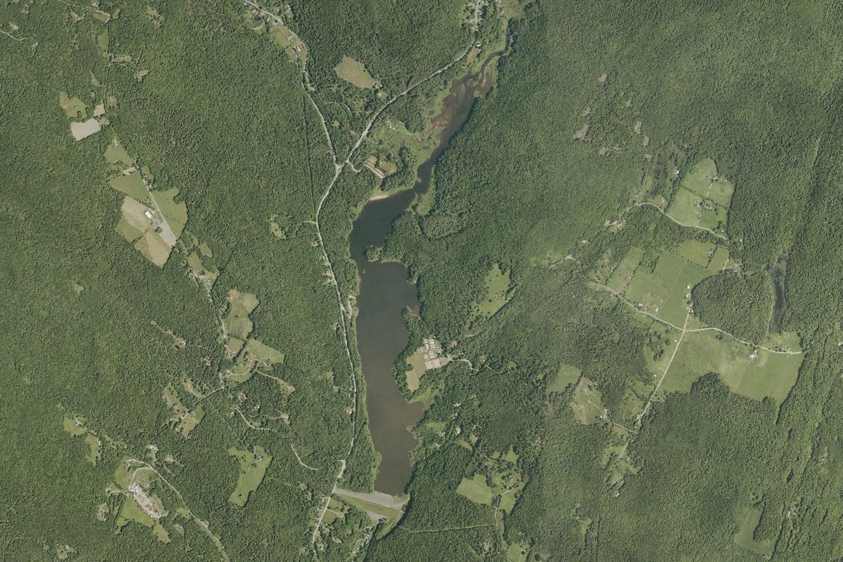
Wrightsville Reservoir is a 189-acre reservoir near Montpelier in Vermont, with 1 public boat ramp listed here. The deepest point is about 35 feet.
Boating rules
- Speed, personal watercraft and other rules: see the Vermont Use of Public Waters Rules · all of Wrightsville Reservoir rule
From the boating rules map of Vermont Agency of Natural Resources, Department of Environmental Conservation, read October 19, 2026. A map of rules is a guide: the regulation's text and the posted signs govern.
Depth contours in feet from Vermont DEC sonar surveys; deepest point about 35 ft. Lake levels and bottoms change; not for navigation.
Boat launches on Wrightsville Reservoir
- Wrightsville Reservoir Boat Launch · Boat ramp · near Montpelier
Wikidata: Q21197359