
West Waushacum Pond
Lake in Massachusetts · 155 acres · near Sterling

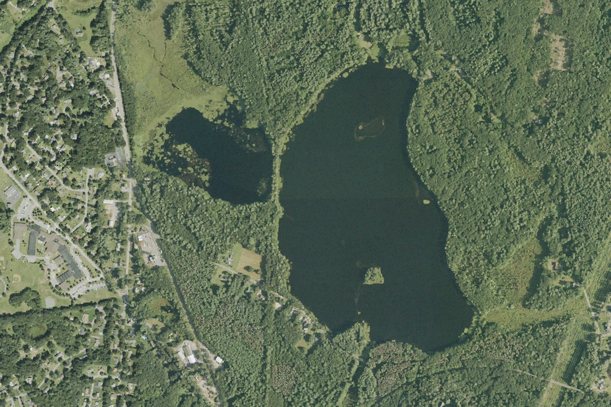
West Waushacum Pond is a 155-acre lake near Sterling in Massachusetts, with 1 carry-in launch listed here. The deepest point is about 30 feet.
Harmful algal blooms reported on this water (state reports compiled by U.S. EPA): 2022.
state reports compiled by U.S. EPA · checked October 20, 2026
Motors: Electric motors only (for the whole water, per the boating rules map of Massachusetts Department of Conservation and Recreation, Division of Water Supply Protection; check the posted rules before you go)
Boating rules
- Only boats up to 14 feet in length, canoes, and kayaks are allowed at West Waushacum Pond, the Quag, and Muddy Pond. Sail boats and Paddle Boards are not allowed. Only electric outboard trolling motors are allowed. All other motors are prohibited. · all of West Waushacum Pond rule
- Cartop boats only up to 14 feet in length are allowed and electric outboard motors. · all of West Waushacum Pond rule
- Car top boats up to 14 feet in length are allowed and electric outboard motors. · all of West Waushacum Pond rule
From the boating rules map of Massachusetts Department of Conservation and Recreation, Division of Water Supply Protection, read October 18, 2026. A map of rules is a guide: the regulation's text and the posted signs govern.
Depth contours in feet from MassWildlife; deepest point about 30 ft. Lake levels and bottoms change; not for navigation.
Kayak and canoe launches on West Waushacum Pond
- West Waushacum Pond Carry-in Access · Carry-in (canoe and kayak) · near Sterling