
Vermont /
Waterbury Reservoir
Reservoir in Vermont · 875 acres · near Waterbury
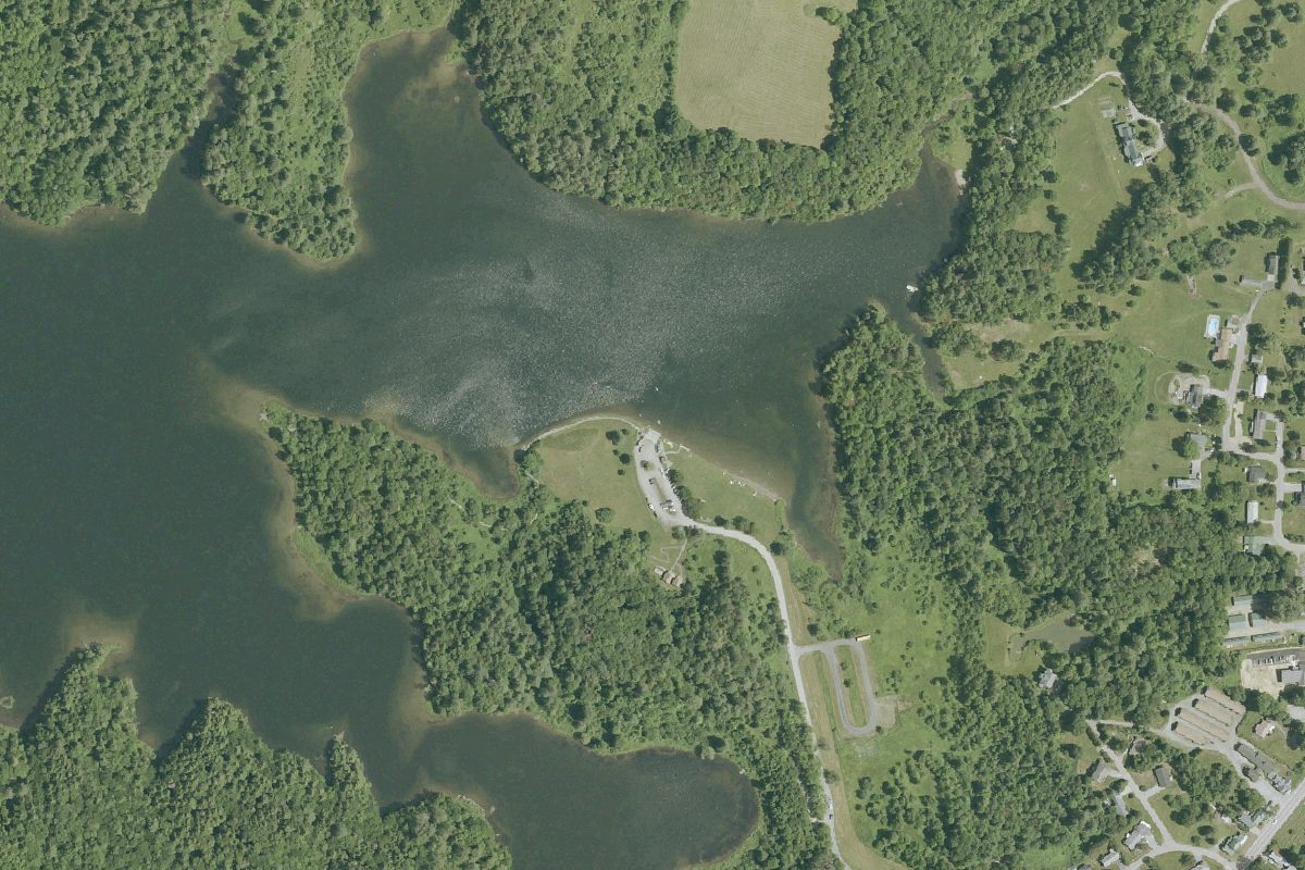
Waterbury Reservoir is a 875-acre reservoir near Waterbury in Vermont, with 4 public boat ramps listed here.
Past algal blooms
Harmful algal blooms reported on this water (state reports compiled by U.S. EPA): 2026.
state reports compiled by U.S. EPA · checked October 20, 2026
Boating rules
- Personal watercraft allowed; speed and other rules: see the Vermont Use of Public Waters Rules · all of Waterbury Reservoir rule
From the boating rules map of Vermont Agency of Natural Resources, Department of Environmental Conservation, read October 19, 2026. A map of rules is a guide: the regulation's text and the posted signs govern.
Boat launches on Waterbury Reservoir
- Blush Hill Boat Launch · Boat ramp · near Waterbury
- Waterbury Center Boat Launch · Boat ramp · near Waterbury
- Waterbury Dam Boat Launch · Boat ramp · near Waterbury
- Waterbury Reservoir Boat Launch · Boat ramp · near Waterbury
Community
Where people who fish, boat and paddle Waterbury Reservoir talk about it. Lake associations, clubs and local groups will be added as we find them.