
Narragansett Bay
Bay in Rhode Island · 81,965 acres · near Barrington, Bristol, Cranston, East Greenwich


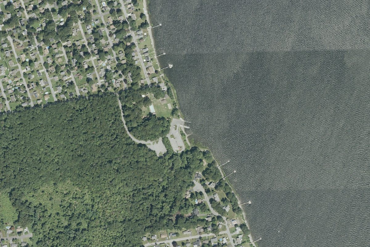
Narragansett Bay is a 81,965-acre bay near Barrington, Bristol and Cranston in Rhode Island, with 17 public boat ramps and 5 carry-in launches listed here. 1 launch is listed as free.
Channel depths in feet from the Army Corps' surveys of June 18, 2025 to July 20, 2026. Not for navigation.
Channel surveys
- Wickford Harbor
Condition survey of July 20, 2026 by the New England District. Least depth in the channel (12-Foot Mill Cove Reach): 3 ft below mean lower low water (MLLW); project depth 12 ft. Survey sheet (PDF) - Pawtuxet Cove
Condition survey of April 21, 2026 by the New England District. Least depth in the channel (6-Foot Anchorage): 4.3 ft below mean lower low water (MLLW); project depth 6 ft. Survey sheet (PDF) - Providence River
Condition survey of January 15, 2026 by the New England District. Least depth in the channel (40-Foot Fox Point Reach): 22.8 ft below mean lower low water (MLLW); project depth 40 ft. Survey sheet (PDF) - Bullocks Point Cove
Condition survey of June 18, 2025 by the New England District. Least depth in the channel (6-Foot Channel): 4.8 ft below mean lower low water (MLLW); project depth 6 ft. Survey sheet (PDF)
US Army Corps of Engineers hydrographic surveys, from eHydro. A survey shows the bottom on the day it was made; channels shoal after high water and change with dredging. Not for navigation.
Boat launches on Narragansett Bay
- Annawanscutt · Boat ramp · near Bristol
- Burnett Road Boat Ramp · Boat ramp · near Warwick
- Collier Park Ramp · Boat ramp · near Providence
- Colt Park · Boat ramp · near Bristol
- Conimicut Point · Carry-in (canoe and kayak) · near Barrington
- Fort Adams · Boat ramp · near Newport
- Gano Park · Boat ramp · near East Providence · free
- Haines Park · Boat ramp · near Barrington
- Independence Park · Boat ramp · near Bristol
- Latham Ave. Park · Carry-in (canoe and kayak) · near Barrington
- Longmeadow · Carry-in (canoe and kayak) · near Warwick
- Pleasant St · Boat ramp · near Wickford
- Priscilla Avenue Boat Ramp · Boat ramp · near Warwick
- Sabin Point · Boat ramp · near Pawtuxet
- Salters Grove · Carry-in (canoe and kayak) · near Pawtuxet
- San Miguel Drive Boat Ramp · Boat ramp · near Bristol
- Shawomet Avenue Boat Ramp · Boat ramp · near Warwick
- Sherman Ave · Boat ramp · near Warren
- Smith Street · Carry-in (canoe and kayak) · near Bristol
- State Street · Boat ramp · near Bristol
- Sunrise Drive Boat Ramp · Boat ramp · near Bristol
- Wilson Park · Boat ramp · near North Kingstown
Community
Where people who fish, boat and paddle Narragansett Bay talk about it. Lake associations, clubs and local groups will be added as we find them.
Wikidata: Q1241943