
East Waushacum Pond
Pond in Massachusetts · 192 acres · near Sterling
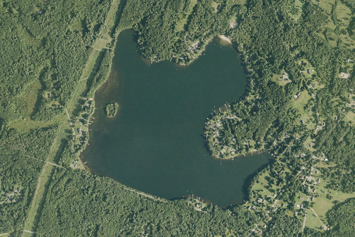
East Waushacum Pond is a 192-acre pond near Sterling in Massachusetts, with 1 public boat ramp listed here. The deepest point is about 35 feet.
Depth contours in feet from MassWildlife; deepest point about 35 ft. Lake levels and bottoms change; not for navigation.
Boat launches on East Waushacum Pond
- East Waushacum Pond Boat Launch · Boat ramp · near Sterling
Wikidata: Q49302151