
Coonamessett Pond
Lake in Massachusetts · 163 acres · near Falmouth
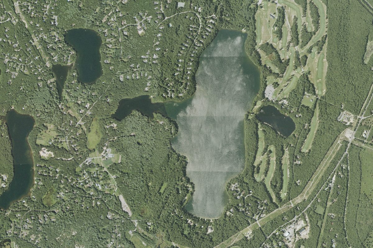
Coonamessett Pond is a 163-acre lake near Falmouth in Massachusetts, with 1 carry-in launch listed here. The deepest point is about 35 feet.
Motors: Up to 10 hp (for the whole water, per the boating rules map of Massachusetts Division of Fisheries and Wildlife (MassWildlife); check the posted rules before you go)
Boating rules
- There is a ten horsepower limit on outboard motors. · all of Coonamessett Pond rule
From the boating rules map of Massachusetts Division of Fisheries and Wildlife (MassWildlife), read October 18, 2026. A map of rules is a guide: the regulation's text and the posted signs govern.
Depth contours in feet from MassWildlife; deepest point about 35 ft. Lake levels and bottoms change; not for navigation.
Kayak and canoe launches on Coonamessett Pond
- Coonamessett Pond Carry-in Access · Carry-in (canoe and kayak) · near Falmouth