
Cap Sante Waterway
Bay in Washington · 345 acres · near Anacortes
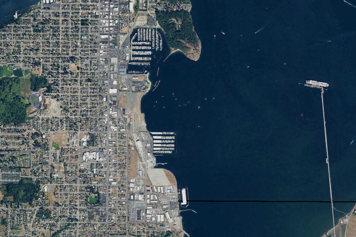
The Cap Sante Waterway is a 345-acre bay near Anacortes in Washington, with 1 public boat ramp listed here.
Boating rules
- No-discharge zone: WAC 173-228 bans vessel sewage discharges, whether treated or not, in the No Discharge Zone. It became effective May 10, 2018. · all of Cap Sante Waterway rule
From the boating rules map of Washington Department of Ecology, read October 20, 2026. A map of rules is a guide: the regulation's text and the posted signs govern.
Boat launches on the Cap Sante Waterway
- Seafarer Park · Boat ramp · near Anacortes
Community
Where people who fish, boat and paddle Cap Sante Waterway talk about it. Lake associations, clubs and local groups will be added as we find them.
Wikidata: Q137800986