
North Carolina / High Rock Lake /
York Hill Yadkin River Access
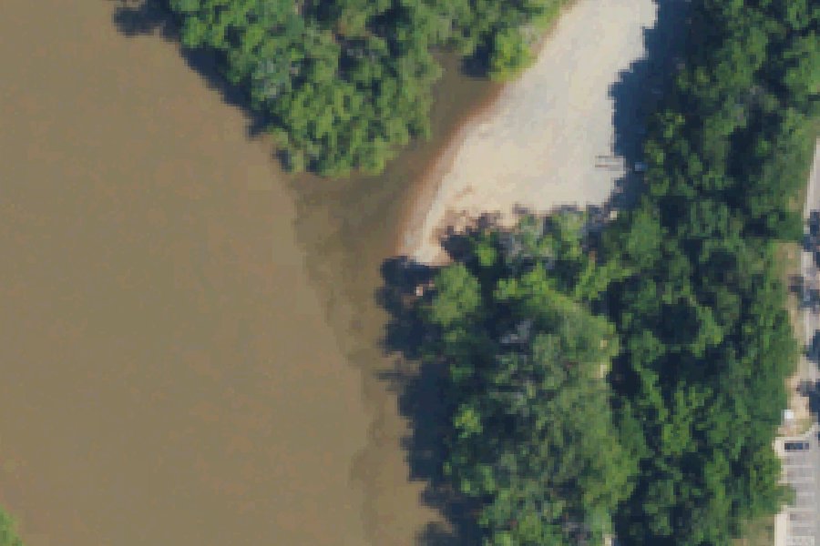
York Hill Yadkin River Access is a public boat ramp on High Rock Lake near Yadkin, North Carolina.
Harmful algal blooms reported on this water (state reports compiled by U.S. EPA): 2024.
state reports compiled by U.S. EPA · checked October 20, 2026
Status not reported No closure has been posted for this launch, but its agency does not publish open or closed status. Check with the managing agency before you tow.
Boating rules
- No-wake zone · zone at within 50 yards of NC Highway 29/70 bridge (Wil-Cox bridge) and the railroad trestle in Linwood, at or next to this launch rule
From the boating rules map of North Carolina Wildlife Resources Commission, read October 18, 2026. A map of rules is a guide: the regulation's text and the posted signs govern.
Conditions
- Weather forecast for this launch · National Weather Service
On High Rock Lake
Reservoir in North Carolina. All launches on High Rock Lake.
Community
Where people who use High Rock Lake talk about it.
Nearby launches
- Crowther · 4.2 mi · South Yadkin River
- Boone's Cave Access · 6.8 mi · Yadkin River
- US 601 River Access · 7.5 mi · South Yadkin River
- US 64 River Access · 9.2 mi · Yadkin River
- Dutch Second · 9.2 mi · High Rock Lake
- Concord Church · 9.4 mi · Yadkin River
Sources
- OpenStreetMap n6601411955 © OpenStreetMap contributors, ODbL
Why it is listed as public: yadkinriverkeeper.org: Mile 37 - York Hill (Yadkin River Park) There are two access points: #1 is a concrete ramp for larger boats, #2 is specific for canoes/kayaks.. Something wrong, or is this launch private? Send a correction; it goes to a person.