
Play Park Boat Ramp
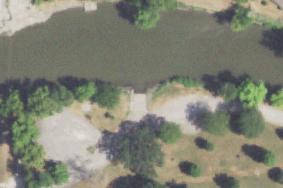
Play Park Boat Ramp is a public boat ramp on the Vermilion River near Pontiac, Illinois.
- Paved ramp
Status not reported No closure has been posted for this launch, but its agency does not publish open or closed status. Check with the managing agency before you tow.
At the launch
- Type
- Boat ramp
- Ramp surface
- Paved
- Car parking
- 5 spaces
- Coordinates
- 40.87703, -88.62558
Conditions
- Weather forecast for this launch · National Weather Service
- Water level, flow at the VERMILION RIVER AT PONTIAC, IL gauge · USGS, 0.6 mi away on Vermilion River
Water level
Latest reading loads here; without it, see the USGS page below.
USGS gauge VERMILION RIVER AT PONTIAC, IL, 0.6 mi from this launch on Vermilion River: water level, flow, a reading every 15 minutes. Readings and history at USGS.
On Vermilion River
River in Illinois. All launches on Vermilion River.
Community
Where people who use Vermilion River talk about it.
Nearby launches
- LaSalle County Nuclear Station Cooling Pond Boat Launch · 25.3 mi · LaSalle County Nuclear Station Cooling Pond
- Mazonia Access Boat Launch near East Brooklyn · 28.9 mi
- East Brooklyn Boat Launch · 29.0 mi
- Mazonia Access Boat Launch near Braceville · 29.1 mi
- Braceville Boat Launch · 29.4 mi
- East Brooklyn Boat Launch · 29.7 mi
Sources
- Great Lakes Commission Boat Access Sites (compilation, public and private) record -88.62560,40.87702 · CC BY 4.0 (Great Lakes Commission compilation); coverage and attribute completeness vary by jurisdiction
- OpenStreetMap n5417300347 © OpenStreetMap contributors, ODbL
Why it is listed as public: www.pontiac.org: Play Park is home to the following features: Boat ramp. Something wrong, or is this launch private? Send a correction; it goes to a person.