
Lake Alliance Park Boat Launch
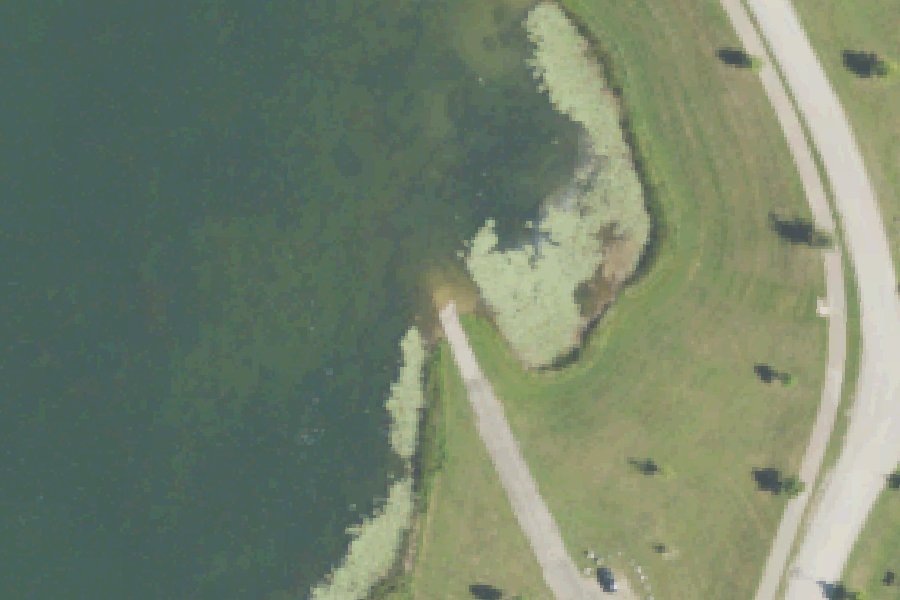
Lake Alliance Park Boat Launch is a public boat ramp on the Thornapple River near Potterville, Michigan.
Status not reported No closure has been posted for this launch, but its agency does not publish open or closed status. Check with the managing agency before you tow.
Conditions
- Weather forecast for this launch · National Weather Service
On Thornapple River
The Thornapple River is an 88-mile tributary of the Grand River in Michigan. It rises in Eaton Township, Eaton County, about 7 miles east of Charlotte, and flows generally west and north through Eaton and Barry counties. It joins the Grand at Ada in Kent County, 10 miles east of Grand Rapids. The Coldwater River is its major tributary. Its watershed covers about 876 square miles and is the largest subbasin of the Lower Grand River Watershed. Thornapple Lake, a natural lake, lies on the river. Below it, dams at Irving, Middleville, LaBarge (Caledonia), Cascade and Ada create a series of heavily developed reservoirs. The Cascade dam is owned by Cascade Township. A seventh dam, at Nashville, was removed in 2009. More about Thornapple River.
Community
Where people who use Thornapple River talk about it.
- Thornapple River Watershed Council Association
- Lower Grand River Organization of Watersheds - Thornapple River Association
- Cascade Thornapple River Association Association
- Thornapple River Watershed Council (Facebook) Facebook
- Search Reddit: r/Michigan Reddit
- Search all of Reddit for Thornapple River, Michigan Reddit
Nearby launches
- McNamara Landing · 8.1 mi · Grand River
- Bunker Road · 8.1 mi · Grand River
- Burchard Park · 8.4 mi · Grand River
- Jaycees Park · 9.1 mi · Grand River
- McArthur River Park · 9.6 mi · Grand River
- Fitzgerald Park Dam Portage · 9.9 mi · Grand River
Sources
- OpenStreetMap n495805151 © OpenStreetMap contributors, ODbL
Why it is listed as public: pottervillemi.org: 24 acre lake with a boat launch, docks, fishing, non-motorized boats. Something wrong, or is this launch private? Send a correction; it goes to a person.