
Washington / Lake Union /
Sunnyside Avenue North Boat Ramp
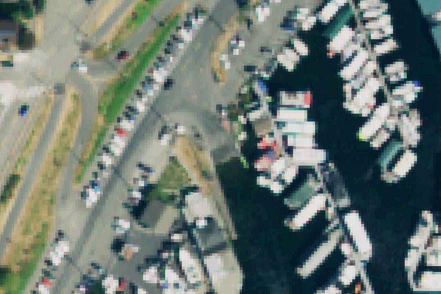
Sunnyside Avenue North Boat Ramp is a public boat ramp on Lake Union near Seattle, Washington.
Washington State Department of Ecology lists this water as likely to contain New Zealand mudsnails; extra decontamination is advised when leaving it. Clean, drain and dry your boat, trailer and gear before you leave, and do not move water, plants or live bait to another water.
Washington State Department of Ecology · checked October 20, 2026
Status not reported No closure has been posted for this launch, but its agency does not publish open or closed status. Check with the managing agency before you tow.
At the launch
- Type
- Boat ramp
- Website
- seattle.gov
- Coordinates
- 47.65024, -122.33071
Boating rules
- No-discharge zone: WAC 173-228 bans vessel sewage discharges, whether treated or not, in the No Discharge Zone. It became effective May 10, 2018. · all of Lake Union rule
From the boating rules map of Washington Department of Ecology, read October 20, 2026. A map of rules is a guide: the regulation's text and the posted signs govern.
Conditions
- Weather forecast for this launch · National Weather Service
On Lake Union
Lake in Washington. All launches on Lake Union.
Community
Where people who use Lake Union talk about it.
Nearby launches
- Fritz Hedges Waterway Park · 0.6 mi · Portage Bay
- Waterway 23 Boat Launch · 0.7 mi · Lake Union
- 14th Avenue Northwest Boat Ramp · 2.1 mi · Lake Washington Ship Canal
- 28th Ave NW Shoreline Street End · 3.1 mi · Lake Washington Ship Canal
- 32nd Avenue West Boat Launch · 3.4 mi · Elliott Bay
- Ballard Elks Public Access · 4.0 mi · Shilshole Bay
Sources
- OpenStreetMap n2882744459 © OpenStreetMap contributors, ODbL
Why it is listed as public: www.seattle.gov: Sunnyside offers a single pier and a wide ramp and is one of Seattle's free of charge all purpose ramps.. Something wrong, or is this launch private? Send a correction; it goes to a person.