
Carronde Park
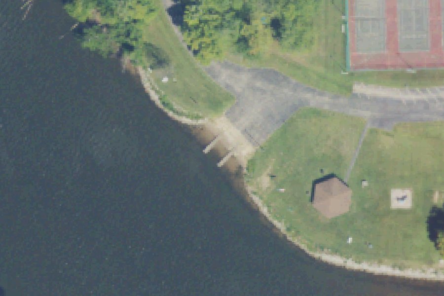
Carronde Park is a public boat ramp on the St. Joseph River near Saint Joseph, Michigan, run by the township.
Zebra mussels (latest report 1990) reported in St. Joseph River 3.4 km from this launch (USGS Nonindigenous Aquatic Species database). Clean, drain and dry your boat, trailer and gear before you leave, and do not move water, plants or live bait to another water.
USGS Nonindigenous Aquatic Species database · checked October 20, 2026
Status not reported No closure has been posted for this launch, but its agency does not publish open or closed status. Check with the managing agency before you tow.
At the launch
- Type
- Boat ramp
- Car parking
- 125 spaces
- Restrooms
- No
- Managed by
- Township
- Coordinates
- 42.06925, -86.46769
Conditions
- Weather forecast for this launch · National Weather Service
On St. Joseph River
The St. Joseph River, known locally as the Saint Joe, is a 210-mile river. It flows generally west through southern Michigan and northern Indiana and empties into Lake Michigan at St. Joseph. It rises at Baw Beese Lake in Hillsdale County and passes Mendon. At Three Rivers it is joined by the Rocky, Portage and Prairie rivers. The river then dips into Indiana through Elkhart, Mishawaka and South Bend before turning north back into Michigan past Niles and Berrien Springs. Near its mouth it divides St. Joseph from Benton Harbor and receives the Paw Paw River. Its 4,685-square-mile basin is the third-largest watershed draining to Lake Michigan, and the main stem has 17 dams. More about St. Joseph River.
Boating rules on St. Joseph River
- Slow-no wake speed from the river mouth (including Morrison Channel) upstream to the southernmost point of Radio Island, St. Joseph/Benton Harbor source
- Slow-no wake speed from the I&M dam downstream around Bachelor Island, Buchanan Township source
- Boating prohibited in a described area just downstream of the Indiana Michigan Power Company dam in Buchanan source
- Michigan Recreation Passport required at the Jasper Dairy DNR access source
Community
Where people who use St. Joseph River talk about it.
- Friends of the St. Joe River Association, Inc. Association
- Friends of the St. Joe River Association, Inc (Facebook page) Facebook
- Fishing the St. Joseph River Facebook
- St. Joseph River at Niles, MI - USGS Water Data Link
- Search Reddit: r/Michigan Reddit
- Search all of Reddit for St. Joseph River, Michigan Reddit
Nearby launches
- Riverview Park Boat Launch · 0.6 mi · St. Joseph River
- Benton Township River Park Boat Launch · 1.1 mi · St. Joseph River
- Marina Island · 2.2 mi · St. Joseph River
- Benton Harbor · 2.4 mi · Saint Joseph River
- Riverview Drive · 2.6 mi · Saint Joseph River
- St. Joseph River Boat Launch near Saint Joseph · 3.2 mi · St. Joseph River
Sources
- Michigan DNR Boat Launches (DNR inventory layer) record A-11-007 · Public record of the State of Michigan; no restrictions on use stated
- Great Lakes Commission Boat Access Sites (compilation, public and private) record -86.46761,42.06931 · CC BY 4.0 (Great Lakes Commission compilation); coverage and attribute completeness vary by jurisdiction
- OpenStreetMap n1698392647 © OpenStreetMap contributors, ODbL
Why it is listed as public: listed by Michigan DNR Boat Launches (DNR inventory layer) and Great Lakes Commission Boat Access Sites (compilation, public and private). Something wrong, or is this launch private? Send a correction; it goes to a person.