
South Raber Boat Ramp
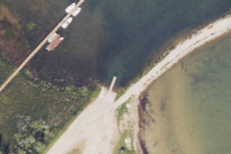
South Raber Boat Ramp is a public boat ramp on the St. Marys River near Raber, Michigan, run by the township.
- 1 lane
Zebra mussels (latest report 2011) reported in St. Marys River 980 m from this launch (USGS Nonindigenous Aquatic Species database). Clean, drain and dry your boat, trailer and gear before you leave, and do not move water, plants or live bait to another water.
USGS Nonindigenous Aquatic Species database · checked October 20, 2026
Status not reported No closure has been posted for this launch, but its agency does not publish open or closed status. Check with the managing agency before you tow.
At the launch
- Type
- Boat ramp
- Ramp lanes
- 1
- Car parking
- 20 spaces
- Restrooms
- No
- Managed by
- Township
- Website
- mcgi.state.mi.us
- Coordinates
- 46.09119, -84.06906
Conditions
- Weather forecast for this launch · National Weather Service
Marine advisories
Advisories in effect load here; without them, see the NWS zone forecast below.
National Weather Service marine zone LSZ322, St. Marys River Point Iroquois to E. Potagannissing Bay. Zone forecast: winds, seas, warnings.
On St. Marys River
The St. Marys River, sometimes written St. Mary's River, carries the outflow of Lake Superior. It begins at the end of Whitefish Bay and runs 74.5 miles southeast to the North Channel of Lake Huron, dropping 23 feet along the way. The river forms the international border between Michigan and Ontario for its whole length. Sault Ste. Marie, De Tour and Sugar Island are among the communities on the U.S. side. At the St. Marys Rapids, a set of compensating works with 16 sluice gates controls how much water leaves Lake Superior. The works were completed between 1901 and 1921, and the International Joint Commission regulates the flow. More about St. Marys River.
Community
Where people who use St. Marys River talk about it.
Nearby launches
- North Raber Boat Ramp · 4.0 mi · St. Marys River
- Caribou Lake Boat Launch · 6.6 mi · Caribou Lake
- Cranberry Flooding · 8.5 mi · Cranberry Lake
- Prentiss Bay · 10.1 mi · Lake Huron
- De Tour Village · 10.6 mi · Lake Huron
- De Tour Passage · 10.9 mi · Lake Huron
Sources
- Michigan DNR Boat Launches (DNR inventory layer) record A-17-024 · Public record of the State of Michigan; no restrictions on use stated
- Great Lakes Commission Boat Access Sites (compilation, public and private) record -84.06911,46.09111 · CC BY 4.0 (Great Lakes Commission compilation); coverage and attribute completeness vary by jurisdiction
- OpenStreetMap n2412107331 © OpenStreetMap contributors, ODbL
Why it is listed as public: listed by Michigan DNR Boat Launches (DNR inventory layer) and Great Lakes Commission Boat Access Sites (compilation, public and private). Something wrong, or is this launch private? Send a correction; it goes to a person.