
South Portage Entry Boat Launch
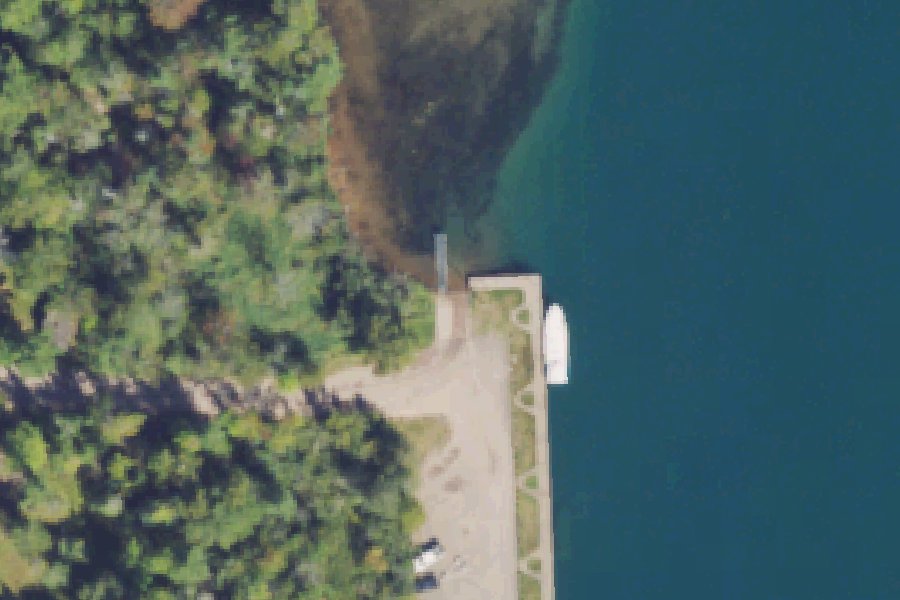
South Portage Entry Boat Launch is a public boat ramp on the Portage River near Portage Entry, Michigan, run by the Michigan DNR Parks and Recreation.
- 1 lane
- Dock
- 10 trailer spaces
Status not reported No closure has been posted for this launch, but its agency does not publish open or closed status. Check with the managing agency before you tow.
At the launch
- Type
- Boat ramp
- Ramp lanes
- 1
- Docks
- 1
- Trailer parking
- 10 spaces
- Car parking
- 5 spaces
- Restrooms
- No
- Managed by
- Michigan DNR Parks and Recreation
- Website
- mcgi.state.mi.us
- Coordinates
- 46.98879, -88.43674
Channel depths in feet from the Army Corps' surveys (Detroit District; the one nearest this launch is of September 24, 2025). Not for navigation.
Conditions
- Weather forecast for this launch · National Weather Service
Marine advisories
Advisories in effect load here; without them, see the NWS zone forecast below.
National Weather Service marine zone LSZ246, Point Isabelle to Lower Entrance of Portage Canal MI. Zone forecast: winds, seas, warnings.
Channel survey
The Army Corps surveys the channels it maintains and posts every survey.
- Keweenaw Waterway
Condition survey of September 24, 2025 by the Detroit District. Soundings on the sheet from 5.3 to 29.7 ft below Low Water Datum (IGLD 1985); the Corps maintains a 25 ft channel here. Survey sheet (PDF)
US Army Corps of Engineers hydrographic surveys, from eHydro. A survey shows the bottom on the day it was made; channels shoal after high water and change with dredging. Not for navigation.
On Portage River
River in Michigan. All launches on Portage River.
Community
Where people who use Portage River talk about it.
Nearby launches
- White City · 0.6 mi · Portage River
- Sturgeon River Sloughs · 3.0 mi · Sturgeon River
- Chassell · 4.8 mi · Portage Lake
- Bootjack · 4.8 mi · Portage Lake
- Otter Lake Dam · 6.9 mi · Sturgeon River
- Otter Lake Boat Launch · 8.9 mi · Otter Lake
Sources
- Michigan DNR Boat Launches (DNR inventory layer) record A-31-030 · Public record of the State of Michigan; no restrictions on use stated
- Great Lakes Commission Boat Access Sites (compilation, public and private) record -88.43671,46.98881 · CC BY 4.0 (Great Lakes Commission compilation); coverage and attribute completeness vary by jurisdiction
- OpenStreetMap n2412107421 © OpenStreetMap contributors, ODbL
Why it is listed as public: listed by Michigan DNR Boat Launches (DNR inventory layer) and Great Lakes Commission Boat Access Sites (compilation, public and private). Something wrong, or is this launch private? Send a correction; it goes to a person.