
Virginia / South Fork Rivanna Reservoir /
Water access at Ivy Creek Natural Area
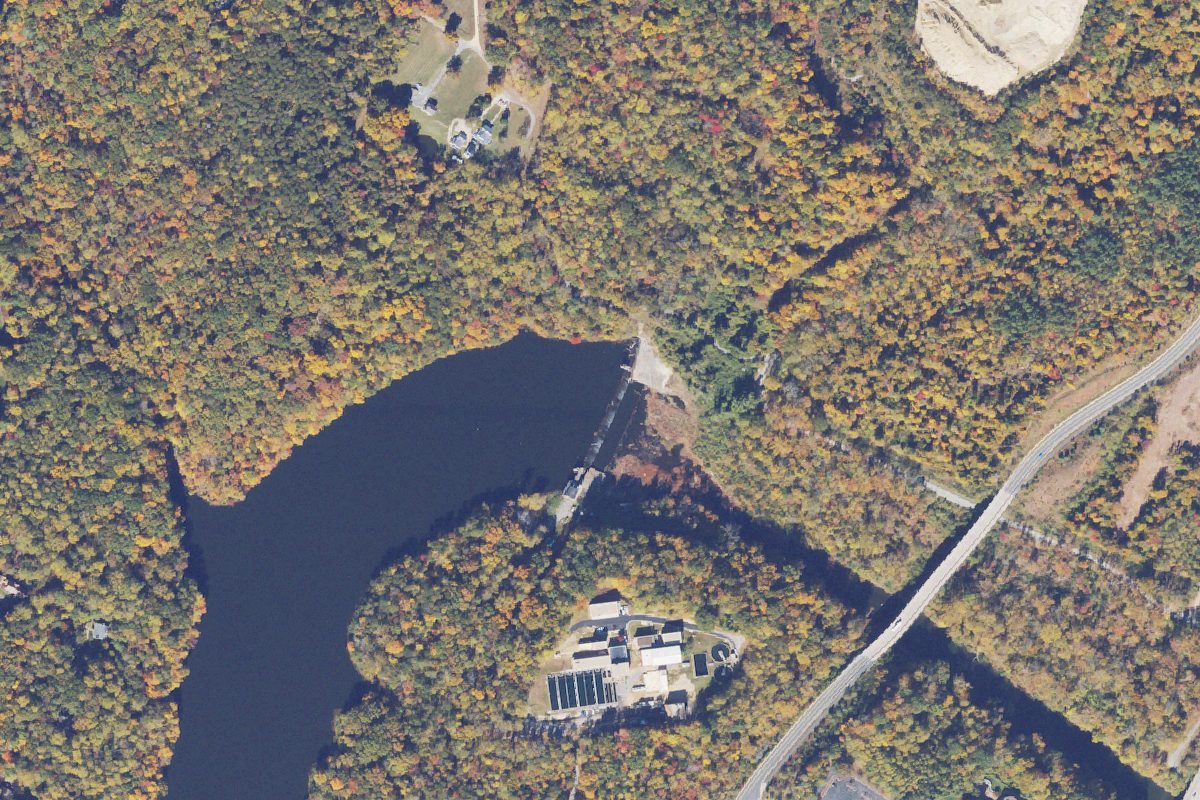
Water access at Ivy Creek Natural Area is a public boat ramp on South Fork Rivanna Reservoir near Rio, Virginia.
- Electric motors only
Status not reported No closure has been posted for this launch, but its agency does not publish open or closed status. Check with the managing agency before you tow.
At the launch
- Type
- Boat ramp
- Motors
- Electric motors only
- Car parking
- Large lot
- Restrooms
- No
- Coordinates
- 38.09506, -78.48933
Boating rules
- Electric motors only · all of South Fork Rivanna Reservoir rule
From the boating rules map of Virginia Department of Wildlife Resources (Public Fishing Lakes. 2008. Virginia Department of Game and Inland Fisheries), read October 20, 2026. A map of rules is a guide: the regulation's text and the posted signs govern.
Conditions
- Weather forecast for this launch · National Weather Service
On South Fork Rivanna Reservoir
Reservoir in Virginia. All launches on South Fork Rivanna Reservoir.
Nearby launches
- S Fork Rivanna Resrvoir · 1.4 mi · South Fork Rivanna Reservoir
- South Fork Rivanna River water access · 1.6 mi · South Fork Rivanna River
- Lewis & Clarke Exploratory Center · 4.1 mi · Rivanna River
- Darden Towe Park canoe launch · 4.1 mi · Rivanna River
- Rivanna Trail · 5.3 mi · Rivanna River
- Lake Albemarle Boat Launch · 7.5 mi · Lake Albemarle
Sources
- Virginia DCR Water Access Points (statewide public access inventory, Virginia Outdoors Plan) record -78.4889,38.0955 · Public data (Virginia DCR), 'for planning purposes only'; credit Virginia Department of Conservation and Recreation, Recreation Planning and Recreational Resources
- OpenStreetMap n11336857762 © OpenStreetMap contributors, ODbL
Why it is listed as public: listed by Virginia DCR Water Access Points (statewide public access inventory, Virginia Outdoors Plan). Something wrong, or is this launch private? Send a correction; it goes to a person.