
North Carolina / Roanoke River /
Plymouth Town Ramp
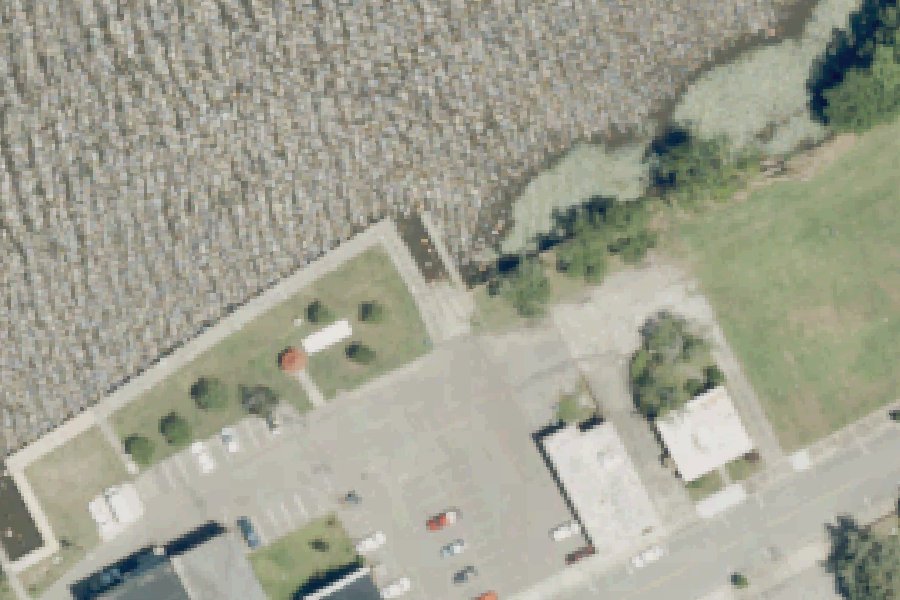
Plymouth Town Ramp is a public boat ramp on the Roanoke River near Plymouth, North Carolina.
- Accessible
Status not reported No closure has been posted for this launch, but its agency does not publish open or closed status. Check with the managing agency before you tow.
At the launch
- Type
- Boat ramp
- Restrooms
- No
- Wheelchair access
- Accessible parking
- Coordinates
- 35.86835, -76.74964
Conditions
- Weather forecast for this launch · National Weather Service
- Water level, water temperature at the ROANOKE RIVER AT NC 45 NR WESTOVER, NC gauge · USGS, 3.5 mi away on Roanoke River
Water level
Latest reading loads here; without it, see the USGS page below.
USGS gauge ROANOKE RIVER AT NC 45 NR WESTOVER, NC, 3.5 mi from this launch on Roanoke River: water level, water temperature, a reading every 15 minutes. Readings and history at USGS.
On Roanoke River
River in North Carolina. All launches on Roanoke River.
Community
Where people who use Roanoke River talk about it.
Nearby launches
- Plymouth Water Street · 0.2 mi · Roanoke River
- Bear Track Landing Conaby Creek · 1.1 mi · Conaby Creek
- Conaby Creek Boat Launch · 3.2 mi · Conaby Creek
- NC Hwy 45 Bridge · 3.5 mi · Roanoke River
- Sans Souci Ferry · 4.8 mi · Cashie River
- Astoria Landing · 9.1 mi · Roanoke River
Sources
- North Carolina Beach and Waterfront Access Sites (NC DEQ Division of Coastal Management): boat launches and hand launches record plymouth-town-ramp-plymouth · NC DEQ Division of Coastal Management data, with its accuracy disclaimer; credit the Division of Coastal Management
- OpenStreetMap n3804389720 © OpenStreetMap contributors, ODbL
Why it is listed as public: listed by North Carolina Beach and Waterfront Access Sites (NC DEQ Division of Coastal Management): boat launches and hand launches. Something wrong, or is this launch private? Send a correction; it goes to a person.