
Rice Lake Boat Launch near Lake Mills
This is a public boat ramp on Rice Lake near Lake Mills, Iowa.
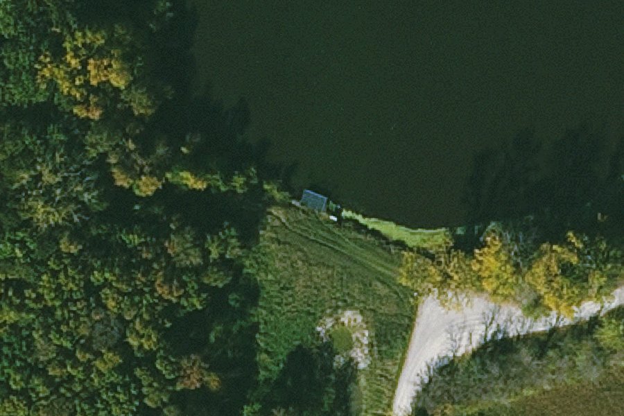
Status not reported No closure has been posted for this launch, but its agency does not publish open or closed status. Check with the managing agency before you tow.
At the launch
- Type
- Boat ramp
- Website
- iowadnr.gov
- Coordinates
- 43.38387, -93.49061
Directions (Google) Apple Maps
This launch has no official name in our sources; the name above describes where it is.
Depth contours in feet from Iowa DNR. Not for navigation.
Conditions
- Weather forecast for this launch · National Weather Service
On Rice Lake
Lake in Iowa. All launches on Rice Lake.
Community
Where people who use Rice Lake talk about it.
Nearby launches
- Rice Lake North Boat Ramp · 1.1 mi · Rice Lake
- Lande River Conservation Area Access · 6.6 mi · Winnebago River
- Dahle Park Access · 7.1 mi · Winnebago River
- State Line Lake (S) Public Water Access Site · 8.1 mi · State Line Lake
- Ambroson Recreation Area Access · 8.5 mi · Winnebago River
- State Line Lake (N) Public Water Access Site · 8.7 mi · State Line Lake
Sources
- OpenStreetMap n6032743351 © OpenStreetMap contributors, ODbL
Why it is listed as public: www.iowadnr.gov: A public boat ramp can be found on the lake’s north shore and a second public boat ramp is available on the lake’s south shore.. Something wrong, or is this launch private? Send a correction; it goes to a person.