
Michigan / Presque Isle River Flooding /
Presque Isle River Flooding Boat Launch
Presque Isle River Flooding Boat Launch is a public boat ramp on Presque Isle River Flooding near Marenisco, Michigan, run by the county.
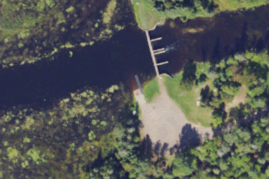
Status not reported No closure has been posted for this launch, but its agency does not publish open or closed status. Check with the managing agency before you tow.
At the launch
- Type
- Boat ramp
- Car parking
- 15 spaces
- Restrooms
- No
- Managed by
- County
- Website
- mcgi.state.mi.us
- Coordinates
- 46.34459, -89.71156
Conditions
- Weather forecast for this launch · National Weather Service
On Presque Isle River Flooding
Lake in Michigan. All launches on Presque Isle River Flooding.
Nearby launches
- Bobcat Lake Boat · 2.1 mi · Bobcat Lake
- Old 64 Canoe Access · 2.5 mi · Presque Isle River
- Mallard Canoe Access · 2.9 mi · South Branch Presque Isle River
- Merganser Canoe Access · 3.0 mi · Redboat Lake
- Redboat Lake Boat Launch · 3.0 mi · Redboat Lake
- Elbow Lake Boat Launch · 3.4 mi · Elbow Lake
Sources
- Michigan DNR Boat Launches (DNR inventory layer) record A-27-043 · Public record of the State of Michigan; no restrictions on use stated
- Great Lakes Commission Boat Access Sites (compilation, public and private) record -89.71151,46.34451 · CC BY 4.0 (Great Lakes Commission compilation); coverage and attribute completeness vary by jurisdiction
- OpenStreetMap n2412107328 © OpenStreetMap contributors, ODbL
Why it is listed as public: listed by Michigan DNR Boat Launches (DNR inventory layer) and Great Lakes Commission Boat Access Sites (compilation, public and private). Something wrong, or is this launch private? Send a correction; it goes to a person.