
Michigan / Little Manistee River /
Old Stronach Bridge
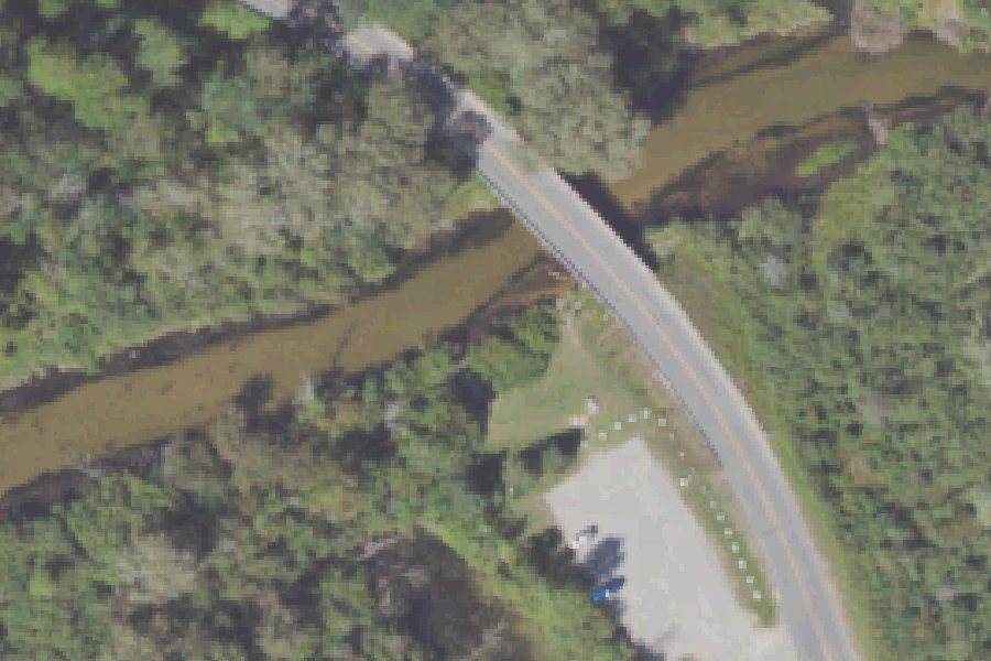
Old Stronach Bridge is a public boat ramp on the Little Manistee River near Stronach, Michigan, run by the USDA Forest Service.
Status not reported No closure has been posted for this launch, but its agency does not publish open or closed status. Check with the managing agency before you tow.
At the launch
- Type
- Boat ramp
- Car parking
- 5 spaces
- Restrooms
- No
- Managed by
- USDA Forest Service
- Coordinates
- 44.21014, -86.24524
Conditions
- Weather forecast for this launch · National Weather Service
- Water level, flow, water temperature at the L MANISTEE R AT NINE MILE BRIDGE NR FREESOIL, MI gauge · USGS, 7.5 mi away on Little Manistee River
Water level
Latest reading loads here; without it, see the USGS page below.
USGS gauge L MANISTEE R AT NINE MILE BRIDGE NR FREESOIL, MI, 7.5 mi from this launch on Little Manistee River: water level, flow, water temperature, a reading every 15 minutes. Readings and history at USGS.
On Little Manistee River
The Little Manistee River is a 64.6-mile tributary of the Manistee River in Michigan's northwestern Lower Peninsula. It rises in the southeast corner of Ellsworth Township in Lake County, southeast of the village of Luther, and flows west-northwest to its mouth at the southeast end of Manistee Lake in Manistee County. From Manistee Lake, a channel leads to Lake Michigan. More than 53 percent of the watershed is public land. More about Little Manistee River.
Boating rules on Little Manistee River
- Michigan Recreation Passport required at DNR access points; federal pass (or day pass) required at National Forest sites source
Community
Where people who use Little Manistee River talk about it.
- Little Manistee Watershed Conservation Council Association
- Little Manistee Watershed Conservation Council (Facebook) Facebook
- Little Manistee River Weir - Michigan DNR Agency
- Little Manistee River Weir (Facebook) Facebook
- LMWCC live water-monitoring feed - Bear Track Link
- Little Manistee River at River DR NR Freesoil, MI - USGS Water Data Link
- Search Reddit: r/Michigan Reddit
- Search all of Reddit for Little Manistee River, Michigan Reddit
Nearby launches
- Stronach · 1.7 mi · Manistee Lake
- Canfield Lake Boat Launch · 3.7 mi · Canfield Lake
- East Lake Village Park · 4.0 mi · Manistee Lake
- Six Mile Bridge · 4.3 mi · Little Manistee River
- Bridge Street · 4.7 mi · Manistee River
- Arthur Street Ramp · 4.8 mi · Manistee Lake
Sources
- Michigan DNR Boat Launches (DNR inventory layer) record A-51-038 · Public record of the State of Michigan; no restrictions on use stated
- Great Lakes Commission Boat Access Sites (compilation, public and private) record -86.24521,44.21011 · CC BY 4.0 (Great Lakes Commission compilation); coverage and attribute completeness vary by jurisdiction
Why it is listed as public: listed by Michigan DNR Boat Launches (DNR inventory layer) and Great Lakes Commission Boat Access Sites (compilation, public and private). Something wrong, or is this launch private? Send a correction; it goes to a person.