
Vermont / North Hartland Reservoir /
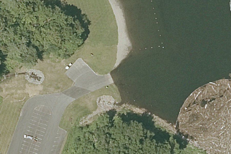
North Hartland Lake Recreation Area Boat Ramp
North Hartland Lake Recreation Area Boat Ramp is a public boat ramp on North Hartland Reservoir near White River Junction, Vermont, run by the U.S. Army Corps of Engineers.
- Paved ramp
Listed as closed by U.S. Army Corps of Engineers recreation area status: Boat ramp flagged closed for this recreation area
source · checked September 15, 2026
At the launch
- Type
- Boat ramp
- Ramp surface
- Concrete
- Managed by
- U.S. Army Corps of Engineers
- Coordinates
- 43.60539, -72.36511
Boating rules
- No personal watercraft · all of North Hartland Reservoir rule
From the boating rules map of Vermont Agency of Natural Resources, Department of Environmental Conservation, read October 19, 2026. A map of rules is a guide: the regulation's text and the posted signs govern.
Conditions
- Weather forecast for this launch · National Weather Service
On North Hartland Reservoir
Reservoir in Vermont. All launches on North Hartland Reservoir.
Nearby launches
- Connecticut River (Lebanon WMA) · 1.9 mi · Connecticut River
- Sumner Falls · 2.8 mi · Connecticut River
- Mill Pond Boat Launch · 3.5 mi · Deweys Pond
- Lyman Point Park · 3.9 mi · Connecticut River
- Wilder Dam Canoe Portage · 5.2 mi · Connecticut River
- Boston Lot Boat Launch · 5.5 mi · Boston Lot Lake
Sources
- U.S. Army Corps of Engineers boat ramps (FHWA Federal Lands Transportation Facility Inventory) record 1255-312089-7-001 · US federal government data, public domain (FHWA Federal Lands Transportation Facility Inventory, U.S. Army Corps of Engineers submittal)
- U.S. Army Corps of Engineers recreation area status open or closed status · US federal government data, public domain (U.S. Army Corps of Engineers Natural Resource Management Program)
- OpenStreetMap n3129575919 © OpenStreetMap contributors, ODbL
Why it is listed as public: listed by U.S. Army Corps of Engineers boat ramps (FHWA Federal Lands Transportation Facility Inventory). Something wrong, or is this launch private? Send a correction; it goes to a person.