
Millerton Lake Boat Ramp 3
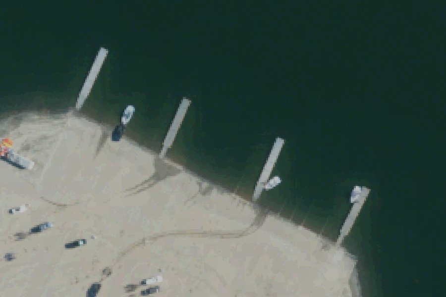
Millerton Lake Boat Ramp 3 is a public boat ramp on Millerton Lake near Millerton, California, run by the California Department of Parks and Recreation.
- Paved ramp
Harmful algal blooms reported on this water (state reports compiled by U.S. EPA): 2019 and 2023.
state reports compiled by U.S. EPA · checked October 20, 2026
Status not reported No closure has been posted for this launch, but its agency does not publish open or closed status. Check with the managing agency before you tow.
At the launch
- Type
- Boat ramp
- Ramp surface
- Concrete
- Managed by
- California Department of Parks and Recreation
- Coordinates
- 36.99235, -119.68354
Conditions
- Weather forecast for this launch · National Weather Service
- Lake level at Millerton Lake and Friant Dam · Reclamation
Lake level: Millerton Lake
Today's level loads here; without it, see the agency's page below.
Level from Bureau of Reclamation, Reclamation Information Sharing Environment (RISE) (Millerton Lake and Friant Dam), daily; the agency's page. Levels change; check conditions at the ramp before you launch.
On Millerton Lake
Reservoir in California. All launches on Millerton Lake.
Community
Where people who use Millerton Lake talk about it.
Nearby launches
- Millerton Lake SRA (Boat Ramps 2-5) · 0.2 mi · Millerton Lake
- Millerton Lake SRA Boat Ramp #4 · 0.3 mi · Millerton Lake
- Millerton Lake SRA (Crows Nest BLF #1) · 0.6 mi · Millerton Lake
- Millerton Lake SRA Boat Ramp #3 · 0.6 mi · Millerton Lake
- Millerton Lake SRA (Boat Ramp #6) · 1.9 mi · Millerton Lake
- South Finegold canoe and kayak ramp · 3.7 mi · Millerton Lake
Sources
- Bureau of Reclamation boat ramps (FHWA Federal Lands Transportation Facility Inventory) record -119.68370,36.99199 · US federal government data, public domain (FHWA Federal Lands Transportation Facility Inventory, Bureau of Reclamation submittal)
- OpenStreetMap w1259105901 © OpenStreetMap contributors, ODbL
- OpenStreetMap w1259105902 © OpenStreetMap contributors, ODbL
- OpenStreetMap w1259105900 © OpenStreetMap contributors, ODbL
- OpenStreetMap n11704631744 © OpenStreetMap contributors, ODbL
- OpenStreetMap n11704631746 © OpenStreetMap contributors, ODbL
- OpenStreetMap n11704631742 © OpenStreetMap contributors, ODbL
Why it is listed as public: listed by Bureau of Reclamation boat ramps (FHWA Federal Lands Transportation Facility Inventory). Something wrong, or is this launch private? Send a correction; it goes to a person.