
Connecticut / Sherwood Millpond /
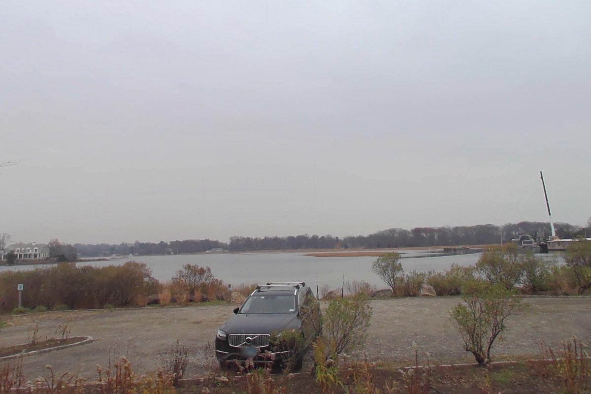
Sherwood Mill Pond Kayak Launch
Carry-in (canoe and kayak) · on Sherwood Millpond · near Westport · Connecticut
Restricted
Public, but limited to residents, sticker or permit holders (on tribal land, a tribal permit). Check the rules with the town, tribe or agency before you go.
Status not reported No closure has been posted for this launch, but its agency does not publish open or closed status. Check with the managing agency before you tow.
At the launch
- Type
- Carry-in (canoe and kayak)
- Fee
- Free
- Ramp surface
- sand
- Restrooms
- No
- Wheelchair access
- Yes
- Managed by
- Town of Westport
- Website
- westportct.gov
- Coordinates
- 41.11557, -73.34595
Conditions
- Weather forecast for this launch · National Weather Service
On Sherwood Millpond
Pond in Connecticut. All launches on Sherwood Millpond.
Nearby launches
- Hillspoint Road Open Space · 0.1 mi · Sherwood Millpond
- Sherwood Island State Park · 0.7 mi · Long Island Sound
- Compo Beach and Marina · 0.7 mi · Long Island Sound
- Saugatuck River Boat Launch · 1.2 mi · Saugatuck River
- Canfield Crossing Subdivision · 2.8 mi · Cockenoe Harbor
- Calf Pasture Beach · 3.4 mi · Cockenoe Harbor
Sources
- Connecticut DEEP Coastal Access Sites (boat launches and car-top access) record 850 · No access or use limitations (layer metadata, ArcGIS item d8eb7731d7d84a149917809241f970ec)
- OpenStreetMap n7781415819 © OpenStreetMap contributors, ODbL
Why it is listed as public: listed by Connecticut DEEP Coastal Access Sites (boat launches and car-top access). Something wrong, or is this launch private? Send a correction; it goes to a person.