
Manistique Municipal Ramp
Manistique Municipal Ramp is a public boat ramp on the Manistique River near Manistique, Michigan, run by the city.
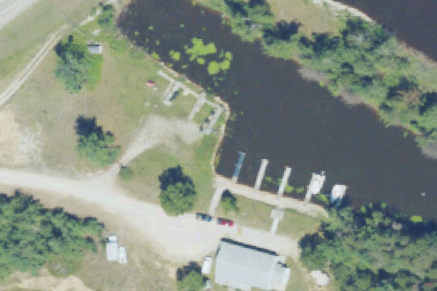
Status not reported No closure has been posted for this launch, but its agency does not publish open or closed status. Check with the managing agency before you tow.
At the launch
- Type
- Boat ramp
- Car parking
- 10 spaces
- Restrooms
- No
- Managed by
- City
- Coordinates
- 45.95238, -86.25144
Channel depths in feet from the Army Corps' surveys (Detroit District; the one nearest this launch is of November 13, 2025). Not for navigation.
Conditions
- Weather forecast for this launch · National Weather Service
- Water level, flow at the MANISTIQUE RIVER NEAR MANISTIQUE, MI gauge · USGS, 6.9 mi away on Manistique River
Water level
Latest reading loads here; without it, see the USGS page below.
USGS gauge MANISTIQUE RIVER NEAR MANISTIQUE, MI, 6.9 mi from this launch on Manistique River: water level, flow, a reading every 15 minutes. Readings and history at USGS.
On the river
Keep well clear of dams: strong currents and restricted zones above and below them.
- Dam, 1.1 mi upstream: Manistique Papers Dam, 25 ft. · Michigan EGLE dam inventory
Up to 10 river miles each way, from the agencies' inventories; not every hazard is listed and rivers change. Scout before you go.
Sources: Michigan EGLE dam inventory.
Channel survey
The Army Corps surveys the channels it maintains and posts every survey.
- Manistique Harbor · 0.1 mi from this launch
After-dredging survey of November 13, 2025 by the Detroit District. Least depth in the channel (Manistique Harbor Upper): 1.8 ft below Low Water Datum; project depth 12 ft. Survey sheet (PDF)
US Army Corps of Engineers hydrographic surveys, from eHydro. A survey shows the bottom on the day it was made; channels shoal after high water and change with dredging. Not for navigation.
On Manistique River
The Manistique River is a 71.2-mile river in Michigan's central Upper Peninsula. It begins at the outlet of Manistique Lake in the southwest corner of Luce County and flows through the Seney National Wildlife Refuge. It empties into Lake Michigan at the city of Manistique. The river drains about 1,461 square miles, including most of Schoolcraft County. Its drainage is flat and sandy, and the river has no rapids or waterfalls. A Michigan DNR description gives depths of 2 to 10 feet. A dam in Manistique, built in 1919, historically kept sea lamprey out of the river above its lowermost reach. More about Manistique River.
Boating rules on Manistique River
- Ten Curves access: carry-down launch suitable only for canoes and car-top boats source
Community
Where people who use Manistique River talk about it.
Nearby launches
- Manistique River Boat Launch · 0.1 mi · Manistique River
- Indian Lake State Park- South Unit · 4.2 mi · Indian Lake
- Thompsoncreek · 4.7 mi · Lake Michigan
- Indian Lake State Park- West Unit · 5.0 mi · Indian Lake
- Palms Book SP · 6.9 mi · Indian Lake
- Merwin Creek Sfcg · 8.4 mi · Manistique River
Sources
- Michigan DNR Boat Launches (DNR inventory layer) record A-77-001 · Public record of the State of Michigan; no restrictions on use stated
- Great Lakes Commission Boat Access Sites (compilation, public and private) record -86.25141,45.95241 · CC BY 4.0 (Great Lakes Commission compilation); coverage and attribute completeness vary by jurisdiction
Why it is listed as public: listed by Michigan DNR Boat Launches (DNR inventory layer) and Great Lakes Commission Boat Access Sites (compilation, public and private). Something wrong, or is this launch private? Send a correction; it goes to a person.