
Florida / Lake Norris /
Lake Norris Conservation Area Canoe Launch
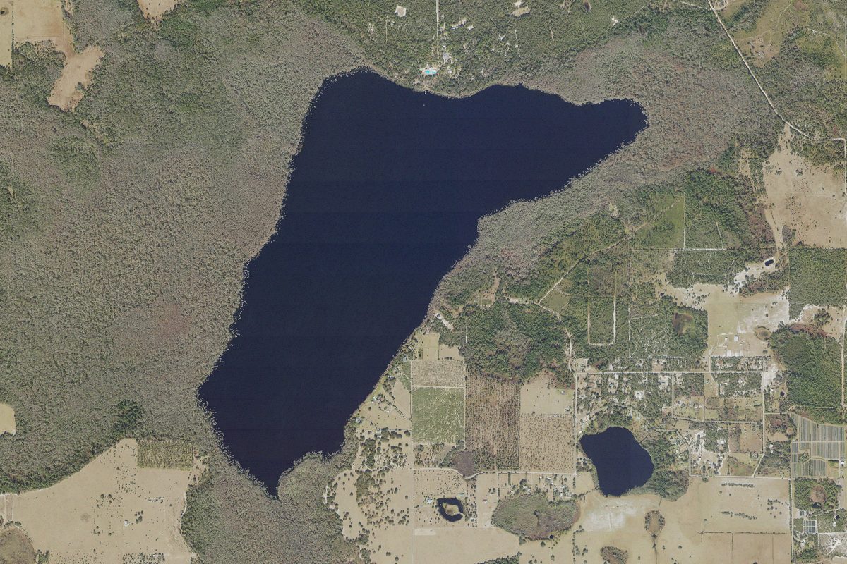
Lake Norris Conservation Area Canoe Launch is a kayak and canoe launch open to residents or permit holders on Lake Norris near Eustis, Florida, run by the St. Johns River Water Management District.
- Residents or permit only
Public, but limited to residents, sticker or permit holders (on tribal land, a tribal permit). Check the rules with the town, tribe or agency before you go.
Status not reported No closure has been posted for this launch, but its agency does not publish open or closed status. Check with the managing agency before you tow.
At the launch
- Type
- Carry-in (canoe and kayak)
- Managed by
- St. Johns River Water Management District
- Coordinates
- 28.92569, -81.55365
Conditions
- Weather forecast for this launch · National Weather Service
On Lake Norris
Lake in Florida. All launches on Lake Norris.
Community
Where people who use Lake Norris talk about it.
Nearby launches
- Lake Norris Conservation Area Canoe Launch - Lake Norris Road Entrance · 0.9 mi · Black Water Creek
- Lake Norris Conservation Area Primitive Boat Ramp - Hart Ranch Road Entrance (Day Use Permit Required) · 1.7 mi · Lake Norris Pit
- Ocala National Forest - Clearwater Lake Recreation Area - Paddlecraft Beach · 3.7 mi · Clearwater Lake (Lake County)
- Lake Dalhousie Public Boat Ramp · 4.2 mi · Lake Dalhousie
- Ocala National Forest - Lake Door Rental Cabin (Registered Campers Only) · 5.8 mi · Lake Dorr
- Lake Umatilla Public Boat Ramp (Guerrant Park) · 6.8 mi · Lake Umatilla
Sources
- St. Johns River Water Management District Recreational Amenities (boat and canoe launches) record -81.55365,28.92569 · SJRWMD GIS content, provided as is to the public without warranty; credit SJRWMD
Why it is listed as public: listed by St. Johns River Water Management District Recreational Amenities (boat and canoe launches). Something wrong, or is this launch private? Send a correction; it goes to a person.