
Florida / Lake Monroe /
Lake Monroe Boat Ramp
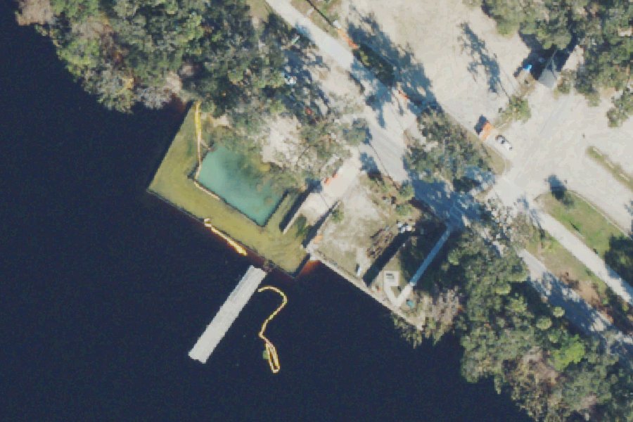
Lake Monroe Boat Ramp is a public boat ramp on Lake Monroe near Sanford, Florida.
Harmful algal blooms reported on this water (state reports compiled by U.S. EPA): 2022 to 2024.
state reports compiled by U.S. EPA · checked October 20, 2026
Status not reported No closure has been posted for this launch, but its agency does not publish open or closed status. Check with the managing agency before you tow.
At the launch
- Type
- Boat ramp
- Website
- deltonafl.gov
- Coordinates
- 28.86269, -81.25250
Depth contours in feet from Florida FWC. Not for navigation.
Boating rules
- Manatee zone: Slow Speed (All Year) · a zone at or next to this launch rule
From the boating rules map of Florida Fish and Wildlife Conservation Commission, read October 18, 2026. A map of rules is a guide: the regulation's text and the posted signs govern.
Conditions
- Weather forecast for this launch · National Weather Service
On Lake Monroe
Lake Monroe is a shallow, wide section of the St. Johns River on the line between Volusia and Seminole counties in central Florida, with the city of Sanford on its southern shore. The St. Johns River flows out of the lake. The Seminole County Water Atlas lists it as a public lake of 8,771 acres, with a mean depth of 6 feet and a maximum depth of 16 feet. The St. Johns River Water Management District gives its size as about 9,400 acres and places it in the middle St. Johns River basin, where development such as the Interstate 4 corridor has affected wetlands and waterways. More about Lake Monroe.
Community
Where people who use Lake Monroe talk about it.
Nearby launches
- Mariner's Cove Park (Small Boats Only) · 0.9 mi · Lake Monroe
- Lake Gleason Small Watercraft Launch · 2.2 mi · Lake Gleason
- Sanford Marina Island Boat Ramp · 3.3 mi · Lake Monroe
- Gemini Springs Park Kayak Launch · 3.4 mi · Lake Monroe
- Lake Monroe Park (Volusia County) · 4.5 mi · Lake Monroe
- Lake Monroe Wayside Park (Seminole County) · 4.7 mi · Lake Monroe
Sources
- OpenStreetMap n7362985912 © OpenStreetMap contributors, ODbL
Why it is listed as public: www.deltonafl.gov: Daily access to this boat ramp is from sunrise to dusk.. Something wrong, or is this launch private? Send a correction; it goes to a person.