
Lake Anna State Park
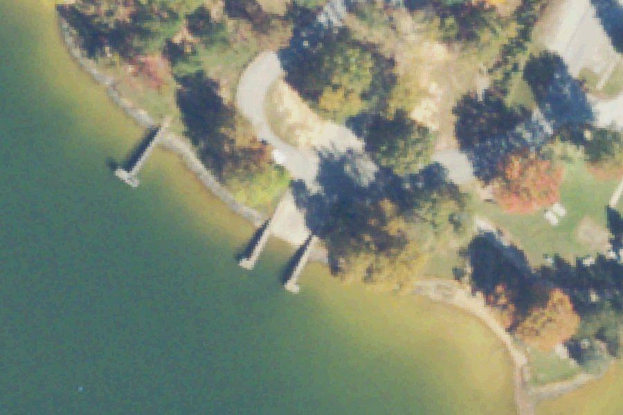
Lake Anna State Park is a public boat ramp on Lake Anna near White Owl Landing, Virginia.
- Fee charged
- Restrooms
- No horsepower limit
Harmful algal blooms reported on this water (state reports compiled by U.S. EPA): 2018 to 2022.
state reports compiled by U.S. EPA · checked October 20, 2026
Status not reported No closure has been posted for this launch, but its agency does not publish open or closed status. Check with the managing agency before you tow.
At the launch
- Type
- Boat ramp
- Fee
- Fee charged
- Motors
- No horsepower limit
- Car parking
- Large lot
- Restrooms
- Yes
- Coordinates
- 38.11344, -77.83579
Boating rules
- No horsepower limit · all of Lake Anna rule
From the boating rules map of Virginia Department of Wildlife Resources (Public Fishing Lakes. 2008. Virginia Department of Game and Inland Fisheries), read October 20, 2026. A map of rules is a guide: the regulation's text and the posted signs govern.
Conditions
- Weather forecast for this launch · National Weather Service
On Lake Anna
Reservoir in Virginia. All launches on Lake Anna.
Community
Where people who use Lake Anna talk about it.
Nearby launches
- Lake Orange Boat Launch · 12.6 mi · Lake Orange
- Hunting Run Reservoir Boat Ramp · 18.1 mi · Hunting Run Reservoir
- Elys Ford · 18.8 mi · Rapidan River
- Hunting Run · 20.1 mi · Rapidan River
- Motts · 21.2 mi · Rappahannock River
- Rappahannock River Carry-in Access near Fredericksburg · 21.3 mi · Rappahannock River
Sources
- Virginia DCR Water Access Points (statewide public access inventory, Virginia Outdoors Plan) record -77.8358,38.1136 · Public data (Virginia DCR), 'for planning purposes only'; credit Virginia Department of Conservation and Recreation, Recreation Planning and Recreational Resources
- Chesapeake Bay Program Public Access Sites (watershed-wide inventory) record lake-anna-state-park-boat-spotsylvania-virginia · Chesapeake Bay Program: partner-authored data in the public domain (terms of use); accuracy disclaimer only
- Chesapeake Bay Program Public Access Sites (watershed-wide inventory) record lake-anna-state-park-spotsylvania-virginia-lake-anna · Chesapeake Bay Program: partner-authored data in the public domain (terms of use); accuracy disclaimer only
- OpenStreetMap w696224282 © OpenStreetMap contributors, ODbL
Why it is listed as public: listed by Virginia DCR Water Access Points (statewide public access inventory, Virginia Outdoors Plan) and Chesapeake Bay Program Public Access Sites (watershed-wide inventory). Something wrong, or is this launch private? Send a correction; it goes to a person.