
Kayak/SUP/Canoe Put-In
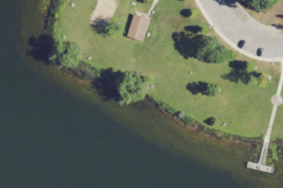
Kayak/SUP/Canoe Put-In is a public kayak and canoe launch on Cass Lake near West Bloomfield Charter Township, Michigan.
Zebra mussels (latest report 2018) reported in this water (USGS Nonindigenous Aquatic Species database). Clean, drain and dry your boat, trailer and gear before you leave, and do not move water, plants or live bait to another water.
USGS Nonindigenous Aquatic Species database · checked October 20, 2026
Status not reported No closure has been posted for this launch, but its agency does not publish open or closed status. Check with the managing agency before you tow.
At the launch
- Type
- Carry-in (canoe and kayak)
- Website
- michigan.gov
- Coordinates
- 42.61456, -83.37490
Depth contours in feet from Michigan DNR. Not for navigation.
Boating rules
- Hours for high-speed boating and water skiing · all of Cass Lake rule
- Slow, no-wake speed · a zone at or next to this launch rule
From the boating rules map of Michigan Department of Natural Resources, read October 18, 2026. A map of rules is a guide: the regulation's text and the posted signs govern.
Conditions
- Weather forecast for this launch · National Weather Service
On Cass Lake
Cass Lake is a 1,280-acre natural lake in central Oakland County, Michigan, a few miles southwest of Pontiac. Waterford Township, West Bloomfield Township, Orchard Lake Village and Keego Harbor border it. It is the largest and deepest lake in Oakland County, with a maximum depth of 121 feet according to the Michigan DNR (Wikipedia gives 123 feet). It has four main basins and 28.6 miles of shoreline with many bays, canals and islands, yet almost 40 percent of the lake is less than 10 feet deep. The lake sits on the main branch of the Clinton River. The river enters from the northwest and leaves to the northeast through a water-level control structure toward Otter Lake. The lake is named for former Michigan governor Lewis Cass. More about Cass Lake.
Boating rules on Cass Lake
Community
Where people who use Cass Lake talk about it.
- Dodge #4 State Park Agency
- Marshbank Park - WB Parks Agency
- What's up Cass Lake Facebook
- Cass Lake Life Facebook
- Cass Lake Spots and Lures - Michigan Sportsman forum Forum
- Search Reddit: r/Michigan Reddit
- Search all of Reddit for Cass Lake, Michigan Reddit
Nearby launches
- Kayak/SUP/Canoe Put-In · 0.0 mi · Cass Lake
- Dodge #4 State Park - Cass Lake · 0.2 mi · Cass Lake
- City of Sylvan Lake Boat Ramp · 2.2 mi · Sylvan Lake
- Crescent Lake Boat Launch · 2.4 mi · Crescent Lake
- Orchard Lake Boat Launch · 2.4 mi · Orchard Lake
- Clinton River Canoe Site River Access · 2.5 mi · Clinton River
Sources
- OpenStreetMap n13920241994 © OpenStreetMap contributors, ODbL
Why it is listed as public: www.michigan.gov: Multiple launch points are available for paddlers. The pier features an accessible kayak launch.. Something wrong, or is this launch private? Send a correction; it goes to a person.