
Michigan / Indian River /
Indian River Boat Launch near Munising
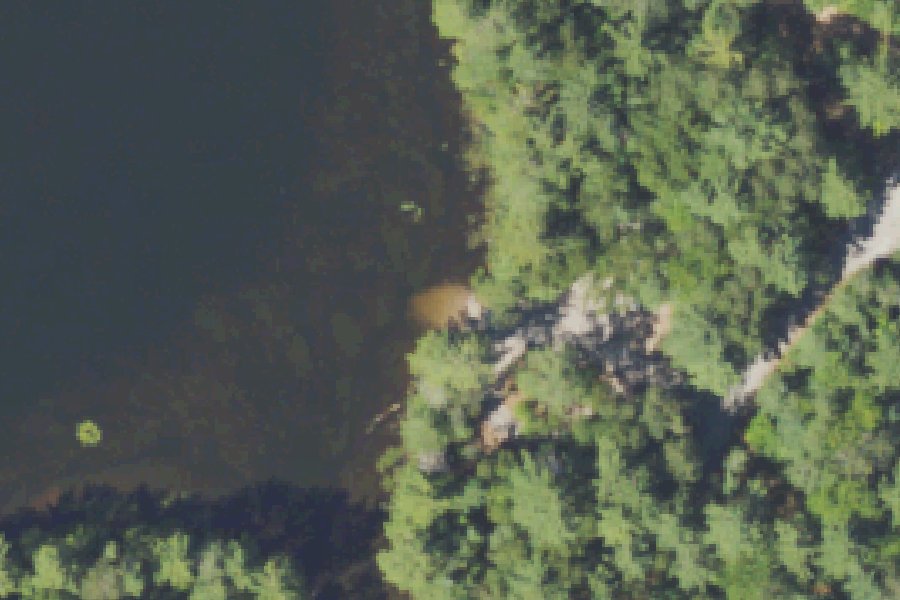
This is a public boat ramp on the Indian River near Munising, Michigan, run by the USDA Forest Service.
Status not reported No closure has been posted for this launch, but its agency does not publish open or closed status. Check with the managing agency before you tow.
At the launch
- Type
- Boat ramp
- Ramp surface
- Gravel
- Managed by
- USDA Forest Service
- Coordinates
- 46.21941, -86.62940
Directions (Google) Apple Maps
This launch has no official name in our sources; the name above describes where it is.
Conditions
- Weather forecast for this launch · National Weather Service
On Indian River
The Indian River is a 59.1-mile tributary of the Manistique River in Michigan's Upper Peninsula. It rises at Hovey Lake on Hiawatha National Forest land in Alger County. From there it flows south and east through a lake district and into Schoolcraft County, then enters Indian Lake, which covers about 8,659 acres. Below the lake it joins the Manistique River, which runs through Manistique to Lake Michigan. A 1981 Michigan DNR report put the watershed at 126,080 acres, about 90 percent of it publicly owned as national forest, with 43 lakes and ponds draining into the river. The river averages 30 to 50 feet wide and 1 to 3 feet deep. On March 3, 1992, the 51 miles from Hovey Lake to Indian Lake were designated a National Wild and Scenic River: 39 miles are classified recreational and 12 miles scenic. More about Indian River.
Community
Where people who use Indian River talk about it.
- Indian River Canoe Trail (current conditions) - Hiawatha National Forest Agency
- Indian River - Rivers.gov (National Wild and Scenic Rivers System) Agency
- Indian River Canoe Trail - Hiawatha National Forest - Michigan (canoetripping.net trip report, 2016) Forum
- Search Reddit: r/Michigan Reddit
- Search all of Reddit for Indian River, Michigan Reddit
Nearby launches
- Irwin Lake Boat Launch · 0.3 mi · Irwin Lake
- Fish Lake Boat Launch · 0.7 mi · Indian River
- Petes Lake Boat Launch · 1.4 mi · Petes Lake
- Moccasin Lake Boat Launch · 1.4 mi · Moccasin Lake
- Bar Lake Boat Access Carry In · 1.5 mi · Bar Lake
- Moccasin Lake Boat Launch · 1.6 mi · Moccasin Lake
Sources
- USDA Forest Service boat ramps (FHWA Federal Lands Transportation Facility Inventory) record 5346010369 · US federal government data, public domain (FHWA Federal Lands Transportation Facility Inventory, USDA Forest Service submittal)
- OpenStreetMap n183425558 © OpenStreetMap contributors, ODbL
Why it is listed as public: listed by USDA Forest Service boat ramps (FHWA Federal Lands Transportation Facility Inventory). Something wrong, or is this launch private? Send a correction; it goes to a person.