
Maine / Kennebec River /
Harris Station Put-In
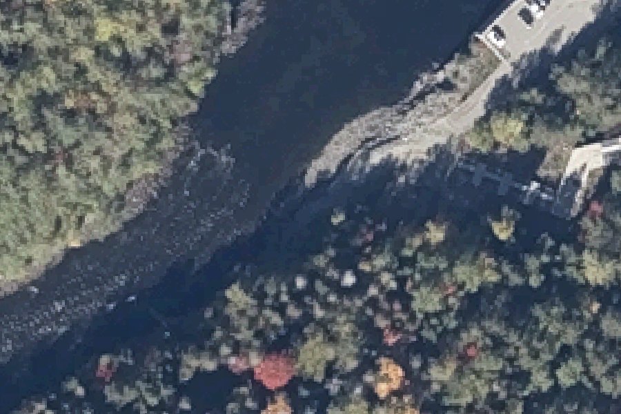
Harris Station Put-In is a public kayak and canoe launch on the Kennebec River, Maine.
Maine DEP lists this water as infested with curly-leaf pondweed. Clean, drain and dry your boat, trailer and gear before you leave, and do not move water, plants or live bait to another water.
Maine DEP · checked October 20, 2026
Status not reported No closure has been posted for this launch, but its agency does not publish open or closed status. Check with the managing agency before you tow.
At the launch
- Type
- Carry-in (canoe and kayak)
- Coordinates
- 45.45835, -69.86602
Conditions
- Weather forecast for this launch · National Weather Service
- Water level, flow at the Kennebec River at The Forks, Maine gauge · USGS, 9.4 mi away on Kennebec River
Water level
Latest reading loads here; without it, see the USGS page below.
USGS gauge Kennebec River at The Forks, Maine, 9.4 mi from this launch on Kennebec River: water level, flow, a reading every 15 minutes. Readings and history at USGS.
On Kennebec River
The Kennebec River is a 170-mile-long river in Maine. It begins at Moosehead Lake in the west-central part of the state, where the East and West Outlets meet at Indian Pond. Harris Station Dam, the largest hydroelectric dam in Maine, was built near that confluence. The Dead River joins the Kennebec at The Forks. From there the river runs south past Madison, Skowhegan, Waterville, Augusta, Hallowell and Gardiner. At Richmond it enters Merrymeeting Bay, a 16-mile-long freshwater tidal bay that also receives the Androscoggin River. It then passes Bath and reaches the Gulf of Maine. The basin covers about 5,869 square miles. The lower river lies below the fall line and has no rapids, so ocean tides reach as far north as Waterville. More about Kennebec River.
Community
Where people who use Kennebec River talk about it.
- Kennebec Estuary Land Trust Association
- Friends of Merrymeeting Bay Association
- USGS gage, Kennebec River at Augusta Link
- Search Reddit: r/Maine Reddit
- Search all of Reddit for Kennebec River, Maine Reddit
Nearby launches
- Indian Pond Boat Ramp · 0.5 mi · Indian Pond
- Big Indian Pond Boat Launch · 6.3 mi · Big Indian Pond
- Moxie Pond Boat Launch · 7.5 mi · Moxie Pond
- Indian Pond Boat Launch near Big Moose Twp · 7.6 mi · Indian Pond
- Mountain View Pond Boat Launch · 9.9 mi · Mountain View Pond
- Brassua lake Boat Ramp · 11.4 mi · Brassua Lake
Sources
- OpenStreetMap n13435681465 © OpenStreetMap contributors, ODbL
Why it is listed as public: www.americanwhitewater.org: free public access with no charges or fees to the waters of the Kennebec River and Indian Pond across lands under their ownership or control. Something wrong, or is this launch private? Send a correction; it goes to a person.