
New Hampshire / Elm Brook Pool /
Elm Brook Park Boat Ramp
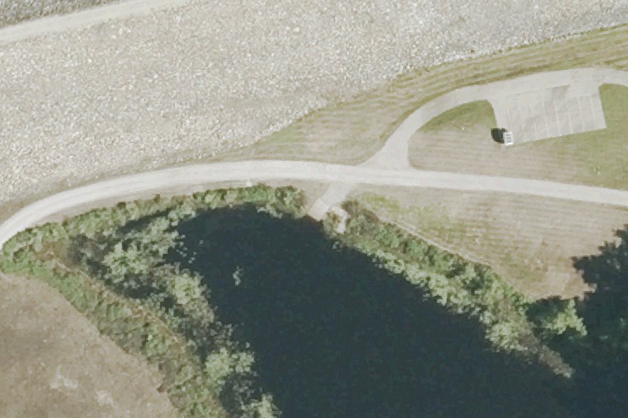
Elm Brook Park Boat Ramp is a public boat ramp on Elm Brook Pool near Hopkinton, New Hampshire, run by the U.S. Army Corps of Engineers.
Harmful algal blooms reported on this water (state reports compiled by U.S. EPA): 2017.
state reports compiled by U.S. EPA · checked October 20, 2026
Listed as closed by U.S. Army Corps of Engineers recreation area status: Boat ramp flagged closed for this recreation area
source · checked October 5, 2026
At the launch
- Type
- Boat ramp
- Ramp surface
- Gravel
- Managed by
- U.S. Army Corps of Engineers
- Coordinates
- 43.18936, -71.73255
Depth contours in feet from NHDES. Not for navigation.
Conditions
- Weather forecast for this launch · National Weather Service
On Elm Brook Pool
Elm Brook Pool is a reservoir in Hopkinton, New Hampshire. It is part of the Hopkinton-Everett Lakes flood-control project, which the U.S. Army Corps of Engineers runs. The Corps describes Hopkinton-Everett as one of two lakes combined to form the largest flood-control project in New England. The project covers 10,000 acres and protects Contoocook and other towns and cities downriver from flooding. It includes a dam on the Contoocook River in West Hopkinton and the Everett Flood Control Dam on the Piscataquog River in Weare. The Town of Hopkinton lists Elm Brook Pool and Marsh among the project's main bodies of water in the town, along with the Contoocook River, Stumpfield Pond and Marsh, Drew Lake, and two canals. More about Elm Brook Pool.
Community
Where people who use Elm Brook Pool talk about it.
Nearby launches
- Elm Brook Park · 0.3 mi · Elm Brook Pool
- Stumpfield Boat Launch · 0.7 mi · Elm Brook Pool
- Stumpfield Canoe Access · 1.0 mi · Elm Brook Pool
- Elm Brook Pool Boat Launch · 1.2 mi · Elm Brook Pool
- Keyser Pond Carry-in Access · 1.7 mi · Keyser Pond
- Stumpfield Marsh · 2.0 mi · Elm Brook Pool
Sources
- U.S. Army Corps of Engineers boat ramps (FHWA Federal Lands Transportation Facility Inventory) record 1309-157635-7-001 · US federal government data, public domain (FHWA Federal Lands Transportation Facility Inventory, U.S. Army Corps of Engineers submittal)
- U.S. Army Corps of Engineers recreation area status open or closed status · US federal government data, public domain (U.S. Army Corps of Engineers Natural Resource Management Program)
- OpenStreetMap n11216939618 © OpenStreetMap contributors, ODbL
Why it is listed as public: listed by U.S. Army Corps of Engineers boat ramps (FHWA Federal Lands Transportation Facility Inventory). Something wrong, or is this launch private? Send a correction; it goes to a person.