
Riverbend Park
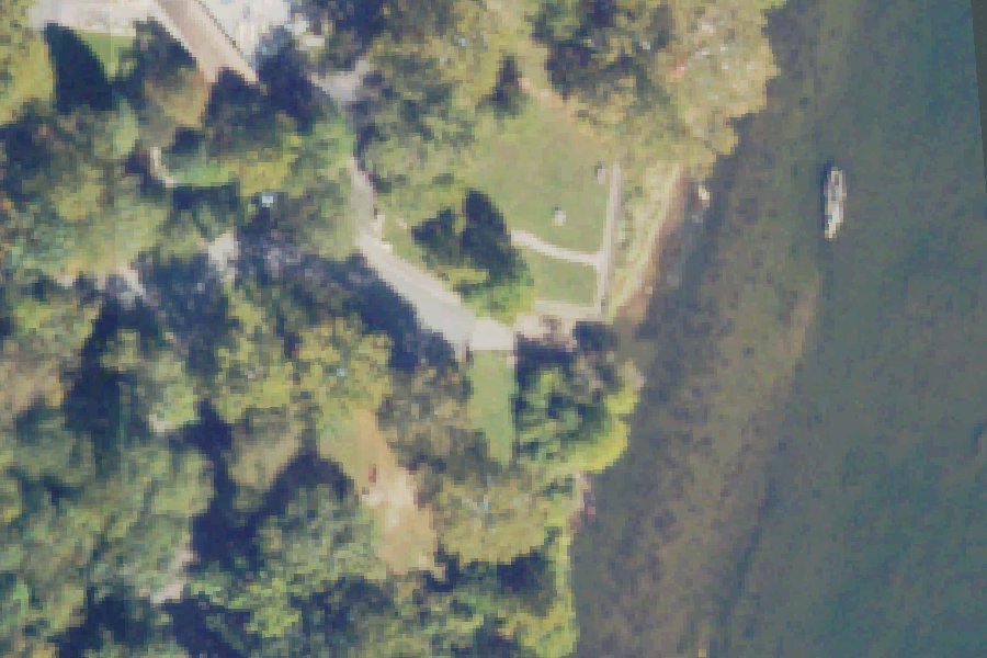
Riverbend Park is a public boat ramp on the Potomac River near Great Falls, Virginia.
Status not reported No closure has been posted for this launch, but its agency does not publish open or closed status. Check with the managing agency before you tow.
At the launch
- Type
- Boat ramp
- Car parking
- Medium lot
- Restrooms
- No
- Coordinates
- 39.01825, -77.24556
Conditions
- Weather forecast for this launch · National Weather Service
On the river
- Rapids, 5.2 mi downstream: Calico Rapids. · USGS GNIS falls and rapids (The National Map Gazetteer)
- Rapids, 5.8 mi downstream: Stubblefield Falls. · USGS GNIS falls and rapids (The National Map Gazetteer)
Up to 10 river miles each way, from the agencies' inventories; not every hazard is listed and rivers change. Scout before you go.
Sources: USGS GNIS falls and rapids (The National Map Gazetteer).
On Potomac River
River in Virginia. All launches on Potomac River.
Community
Where people who use Potomac River talk about it.
Nearby launches
- Swains Lock - River · 0.9 mi · Potomac River
- Swains Lock - Canal · 0.9 mi · Chesapeake and Ohio Canal
- Aqueduct Lock 20 - River · 1.1 mi · Potomac River
- Aqueduct Lock 20 - Canal · 1.2 mi · Chesapeake and Ohio Canal
- Great Falls Park · 1.6 mi · Potomac River
- Anglers Inn - Canal · 2.7 mi · Chesapeake and Ohio Canal
Sources
- Virginia DCR Water Access Points (statewide public access inventory, Virginia Outdoors Plan) record -77.2455,39.0183 · Public data (Virginia DCR), 'for planning purposes only'; credit Virginia Department of Conservation and Recreation, Recreation Planning and Recreational Resources
- OpenStreetMap w473414833 © OpenStreetMap contributors, ODbL
Why it is listed as public: listed by Virginia DCR Water Access Points (statewide public access inventory, Virginia Outdoors Plan). Something wrong, or is this launch private? Send a correction; it goes to a person.