
Illinois /
Cave-in-Rock Boat Launch
This is a public boat ramp near Cave-in-Rock, Illinois.
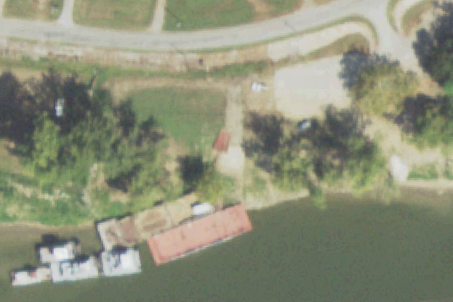
Status not reported No closure has been posted for this launch, but its agency does not publish open or closed status. Check with the managing agency before you tow.
At the launch
- Type
- Boat ramp
- Website
- dnr.illinois.gov
- Coordinates
- 37.46702, -88.16267
Directions (Google) Apple Maps
This launch has no official name in our sources; the name above describes where it is.
Channel depths in feet from the Army Corps' surveys (Louisville District; the one nearest this launch is of March 12, 2019). Not for navigation.
Conditions
- Weather forecast for this launch · National Weather Service
Channel survey
The Army Corps surveys the channels it maintains and posts every survey.
- Smithland Pool Ohio River
Hydrographic survey of March 12, 2019 by the Louisville District. Soundings on the sheet down to 88.6 ft, with bars at or above it; the Corps maintains a 9 ft channel here. Survey sheet (PDF)
US Army Corps of Engineers hydrographic surveys, from eHydro. A survey shows the bottom on the day it was made; channels shoal after high water and change with dredging. Not for navigation.
Nearby launches
- Tower Rock Boat Launch · 3.7 mi · Ohio River
- Old Lock & Dam #50 · 3.9 mi · Ohio River
- Caseyville · 6.9 mi · Ohio River
- Elizabethtown Ferry · 8.4 mi · Ohio River
- Lake Tecumseh Boat Launch · 8.9 mi · Lake Tecumseh
- Grangertown Landing · 9.6 mi · Tradewater River
Sources
- OpenStreetMap w1266946591 © OpenStreetMap contributors, ODbL
Why it is listed as public: dnr.illinois.gov: The river can be accessed directly from two boat ramps.. Something wrong, or is this launch private? Send a correction; it goes to a person.