
Michigan / Carp River /
Carp River Boat Launch
This is a public boat ramp on the Carp River near Charles, Michigan, run by the USDA Forest Service.
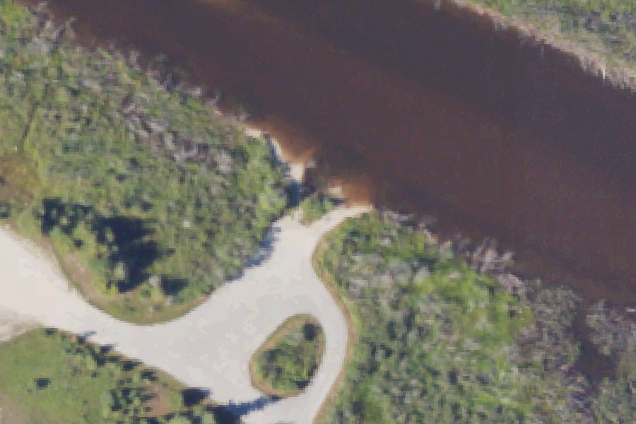
Status not reported No closure has been posted for this launch, but its agency does not publish open or closed status. Check with the managing agency before you tow.
At the launch
- Type
- Boat ramp
- Ramp surface
- Gravel
- Managed by
- USDA Forest Service
- Coordinates
- 46.02408, -84.69378
Directions (Google) Apple Maps
This launch has no official name in our sources; the name above describes where it is.
Conditions
- Weather forecast for this launch · National Weather Service
On Carp River
River in Michigan. All launches on Carp River.
Community
Where people who use Carp River talk about it.
Nearby launches
- Carp River Mouth Boat Launch · 0.3 mi · Lake Huron
- Pine River Boat Launch · 3.0 mi · Pine River
- Lake Huron Boat Launch near Hessel · 8.8 mi · Lake Huron
- Brevort Lake Boat Launch · 9.1 mi · Brevoort Lake
- St Ignace · 10.4 mi · Lake Huron
- St Ignace · 10.9 mi · Lake Huron
Sources
- USDA Forest Service boat ramps (FHWA Federal Lands Transportation Facility Inventory) record 2834010369 · US federal government data, public domain (FHWA Federal Lands Transportation Facility Inventory, USDA Forest Service submittal)
- OpenStreetMap n8694593137 © OpenStreetMap contributors, ODbL
Why it is listed as public: listed by USDA Forest Service boat ramps (FHWA Federal Lands Transportation Facility Inventory). Something wrong, or is this launch private? Send a correction; it goes to a person.