
Illinois / Burnham Harbor South Basin /
Burnham Harbor South Basin Boat Launch
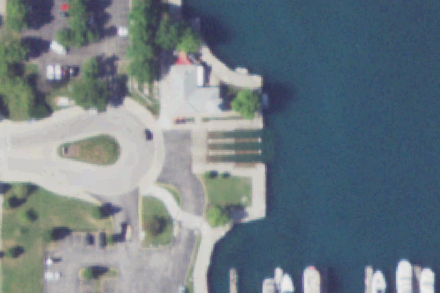
This is a public boat ramp on Burnham Harbor South Basin near Chicago, Illinois, run by the Chicago Park District.
- Paved ramp
Zebra mussels (latest report 1991) reported in Burnham Harbor South Basin 590 m from this launch (USGS Nonindigenous Aquatic Species database). Clean, drain and dry your boat, trailer and gear before you leave, and do not move water, plants or live bait to another water.
USGS Nonindigenous Aquatic Species database · checked October 20, 2026
Status not reported No closure has been posted for this launch, but its agency does not publish open or closed status. Check with the managing agency before you tow.
At the launch
- Type
- Boat ramp
- Ramp surface
- Paved
- Car parking
- 160 spaces
- Managed by
- Chicago Park District
- Coordinates
- 41.86041, -87.61240
Directions (Google) Apple Maps
This launch has no official name in our sources; the name above describes where it is.
Conditions
- Weather forecast for this launch · National Weather Service
Marine advisories
Advisories in effect load here; without them, see the NWS zone forecast below.
National Weather Service marine zone LMZ742, Northerly Island to Calumet Harbor IL. Zone forecast: winds, seas, warnings.
On Burnham Harbor South Basin
Bay in Illinois. All launches on Burnham Harbor South Basin.
Community
Where people who use Burnham Harbor South Basin talk about it.
Nearby launches
- Park No. 571 Boat Launch · 2.9 mi · Turning Basin
- Richard J. Daley Park Boat Launch · 4.2 mi · Chicago Sanitary and Ship Canal
- Richard J. Daley Park Boat Launch · 4.2 mi · Chicago Sanitary and Ship Canal
- Diversey Harbor Boat Launch near Chicago · 4.7 mi · Diversey Harbor
- Jackson Boat Launch - Inner Harbor · 5.8 mi · Jackson Park Inner Harbor
- River Park Canoe Launch · 9.1 mi · North Branch Chicago River
Sources
- Great Lakes Commission Boat Access Sites (compilation, public and private) record -87.61241,41.86041 · CC BY 4.0 (Great Lakes Commission compilation); coverage and attribute completeness vary by jurisdiction
- OpenStreetMap n12014021175 © OpenStreetMap contributors, ODbL
- OpenStreetMap n4025361713 © OpenStreetMap contributors, ODbL
- OpenStreetMap n4025361716 © OpenStreetMap contributors, ODbL
- OpenStreetMap w627698630 © OpenStreetMap contributors, ODbL
- OpenStreetMap w399862681 © OpenStreetMap contributors, ODbL
- OpenStreetMap w399862679 © OpenStreetMap contributors, ODbL
Why it is listed as public: listed by Great Lakes Commission Boat Access Sites (compilation, public and private). Something wrong, or is this launch private? Send a correction; it goes to a person.