
Bostwick Lake Boat Launch
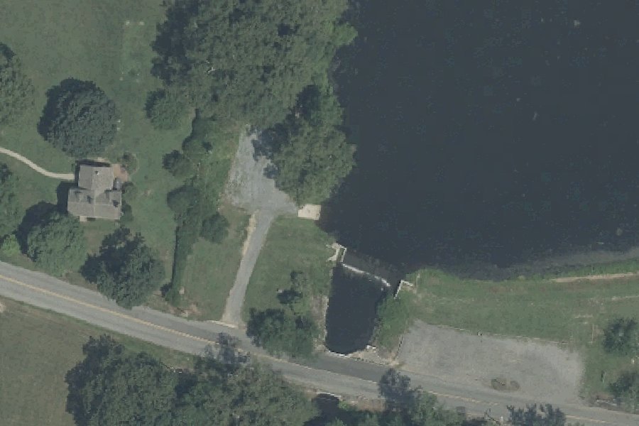
This is a free public boat ramp on Bostwick Lake near Beals Mill, New Jersey.
- Free
- Electric motors only
- Paved ramp
Harmful algal blooms reported on this water (state reports compiled by U.S. EPA): 2025.
state reports compiled by U.S. EPA · checked October 20, 2026
Status not reported No closure has been posted for this launch, but its agency does not publish open or closed status. Check with the managing agency before you tow.
At the launch
- Type
- Boat ramp
- Fee
- Free
- Motors
- Electric motors only
- Ramp surface
- concrete
- Car parking
- No
- Restrooms
- No
- Hours
- sunrise-sunset
- Coordinates
- 39.52844, -75.26791
Directions (Google) Apple Maps
This launch has no official name in our sources; the name above describes where it is.
Boating rules
- Outboard motors: electric only · all of Bostwick Lake rule
From the boating rules map of New Jersey Department of Environmental Protection GIS: developed using NJDEP Geographic Information System digital data, but this secondary product has not been verified by NJDEP and is not state-authorized or endorsed, read October 18, 2026. A map of rules is a guide: the regulation's text and the posted signs govern.
Conditions
- Weather forecast for this launch · National Weather Service
On Bostwick Lake
Reservoir in New Jersey. All launches on Bostwick Lake.
Nearby launches
- Alloway Lake Boat Launch · 5.5 mi · Alloway Lake
- Heppners Field Canoe Launch · 5.7 mi · Muddy Run
- 2nd Landing Canoe Launch · 6.5 mi · Muddy Run
- Elmer Lake Wildlife Management Area Boat Ramp · 7.2 mi · Elmer Lake
- Bridgeton Municipal Ramp · 7.3 mi · Cohansey River
- Maskells Mills Pond Wildlife Management Area Boat Ramp · 7.5 mi · Maskells Millpond
Sources
- OpenStreetMap n12137608872 © OpenStreetMap contributors, ODbL
Why it is listed as public: services1.arcgis.com: "WATERBODY":"Bostwick Lake","OWNER":"Municipal","CAR_TOP_LAUNCH":"Y","BOAT_RAMP":"Y","PERMIT_REQ":"N". Something wrong, or is this launch private? Send a correction; it goes to a person.