
Virginia / Bonum Creek /
Bonums Landing
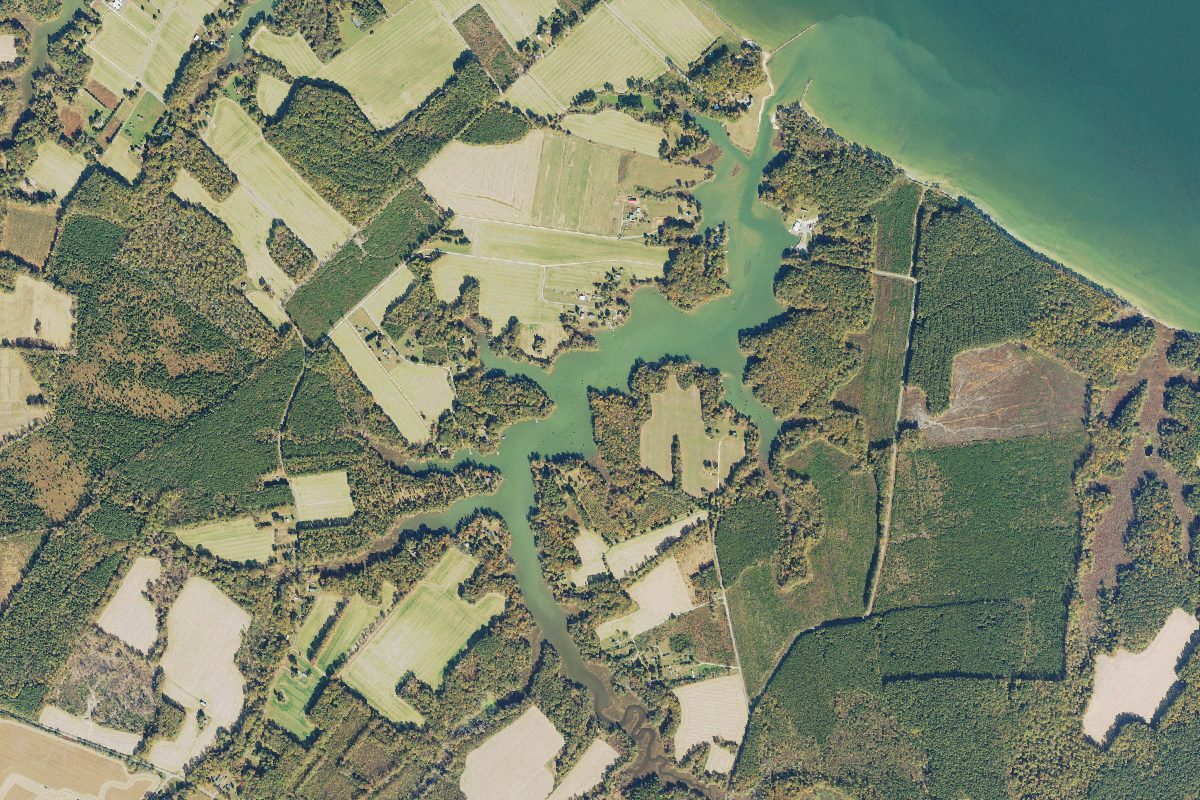
Bonums Landing is a public boat ramp on Bonum Creek near Narrow Beach, Virginia.
Status not reported No closure has been posted for this launch, but its agency does not publish open or closed status. Check with the managing agency before you tow.
At the launch
- Type
- Boat ramp
- Car parking
- Medium lot
- Restrooms
- No
- Coordinates
- 38.09111, -76.58390
Conditions
- Weather forecast for this launch · National Weather Service
Marine advisories
Advisories in effect load here; without them, see the NWS zone forecast below.
National Weather Service marine zone ANZ537, Tidal Potomac from Cobb Island MD to Smith Point VA. Zone forecast: winds, seas, warnings.
On Bonum Creek
River in Virginia. All launches on Bonum Creek.
Community
Where people who use Bonum Creek talk about it.
Nearby launches
- Piney Point Museum soft access · 4.4 mi · Piney Point Creek
- Coles Point · 4.5 mi · Branson Cove
- Branson Cove · 4.7 mi · Lower Machodoc Creek
- Piney Point Recreation Area · 5.6 mi · Saint George Creek
- Gardy's Mill Pond · 6.2 mi · Gardy's Millpond
- Tall Timbers Landing · 6.3 mi · Herring Creek
Sources
- Virginia DCR Water Access Points (statewide public access inventory, Virginia Outdoors Plan) record -76.5839,38.0911 · Public data (Virginia DCR), 'for planning purposes only'; credit Virginia Department of Conservation and Recreation, Recreation Planning and Recreational Resources
- Chesapeake Bay Program Public Access Sites (watershed-wide inventory) record bonums-landing-westmoreland-virginia · Chesapeake Bay Program: partner-authored data in the public domain (terms of use); accuracy disclaimer only
Why it is listed as public: listed by Virginia DCR Water Access Points (statewide public access inventory, Virginia Outdoors Plan) and Chesapeake Bay Program Public Access Sites (watershed-wide inventory). Something wrong, or is this launch private? Send a correction; it goes to a person.