
Scheck's Place SFCG
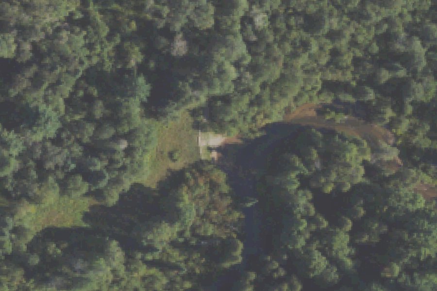
Scheck's Place SFCG is a public boat ramp on the Boardman River near Union Township, Michigan, run by the Michigan DNR Forest Resources.
- 6 parking spaces
Status not reported No closure has been posted for this launch, but its agency does not publish open or closed status. Check with the managing agency before you tow.
At the launch
- Type
- Boat ramp
- Car parking
- 6 spaces
- Restrooms
- No
- Managed by
- Michigan DNR Forest Resources
- Coordinates
- 44.65129, -85.44653
Conditions
- Weather forecast for this launch · National Weather Service
- Water level, flow at the BOARDMAN R ABOVE BROWN BRIDGE ROAD NR MAYFIELD, MI gauge · USGS, 0.6 mi away on Boardman River
Water level
Latest reading loads here; without it, see the USGS page below.
USGS gauge BOARDMAN R ABOVE BROWN BRIDGE ROAD NR MAYFIELD, MI, 0.6 mi from this launch on Boardman River: water level, flow, a reading every 15 minutes. Readings and history at USGS.
On Boardman River
The Boardman River, also called the Ottaway or Boardman–Ottaway River, is a 28.2-mile river in the northwestern Lower Peninsula of Michigan. It rises in western Kalkaska County and flows west and north through Grand Traverse County. It passes through Boardman Lake and empties into Grand Traverse Bay, an arm of Lake Michigan, in downtown Traverse City. The main stem begins where the North and South branches meet near Supply and Brown Bridge roads, about 15 miles southeast of Traverse City. Its watershed covers 287 square miles. Sections of the river are a state-designated Natural River. Five dams were built on the main stem between 1867 and 1922. Keystone Dam washed out in 1961, Brown Bridge Dam was removed in 2012, Boardman Dam in 2017 and Sabin Dam in 2018. Removal of the Union Street Dam was completed in 2025 as part of the FishPass project, which is expected to be finished in 2027. More about Boardman River.
Boating rules on Boardman River
- No commercial use is allowed at Michigan DNR launches or landings on the river source
- Ranch Rudolf is the only commercial livery permitted to operate on the Upper Boardman source
- During FishPass construction at the Union Street Dam, paddlers must take out at American Legion Park (Washington and Cass streets) source
- Portage required at the Union Street Dam; a seasonal portage may be needed around the MDNR fish weir near the mouth source
Community
Where people who use Boardman River talk about it.
- Boardman-Ottaway River - Grand Traverse Conservation District Association
- Boardman-Ottaway River - The Watershed Center Grand Traverse Bay Association
- Schecks Place State Forest Campground - Michigan DNR Agency
- Report Downed Trees & Hazards on the Boardman (GTCD) Link
- Boardman River Clean Sweep Facebook
- Traverse Area Paddle Club - Boardman River, Forks to Brown Bridge Club
- USGS 04127200 Boardman River at Beitner Rd nr Traverse City, MI Link
- Search Reddit: r/Michigan Reddit
- Search all of Reddit for Boardman River, Michigan Reddit
Nearby launches
- Scheck's Place SFCG · 0.4 mi · Boardman River
- Forks SFCG · 2.7 mi · Boardman River
- Spider Lake Boat Launch · 3.2 mi · Spider Lake
- Arbutus Lake #4 · 4.0 mi · Arbutus Lake
- Chandler Lake Boat Launch · 4.3 mi · Chandler Lake
- River Road · 7.1 mi · Boardman River
Sources
- Michigan DNR Boat Launches (DNR inventory layer) record A-28-001 · Public record of the State of Michigan; no restrictions on use stated
- Great Lakes Commission Boat Access Sites (compilation, public and private) record -85.44621,44.65141 · CC BY 4.0 (Great Lakes Commission compilation); coverage and attribute completeness vary by jurisdiction
- OpenStreetMap n6481618735 © OpenStreetMap contributors, ODbL
Why it is listed as public: listed by Michigan DNR Boat Launches (DNR inventory layer) and Great Lakes Commission Boat Access Sites (compilation, public and private). Something wrong, or is this launch private? Send a correction; it goes to a person.