
Michigan / Black River /
Black River Park
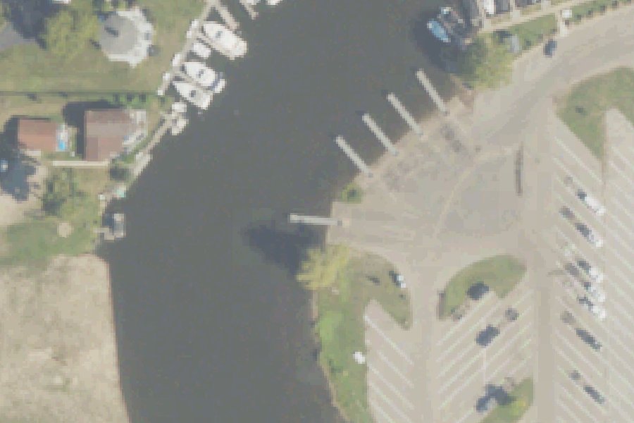
Black River Park is a public boat ramp on the Black River near South Haven, Michigan, run by the city.
- Paved ramp
Status not reported No closure has been posted for this launch, but its agency does not publish open or closed status. Check with the managing agency before you tow.
At the launch
- Type
- Boat ramp
- Ramp surface
- paved
- Car parking
- 313 spaces
- Restrooms
- No
- Managed by
- City
- Coordinates
- 42.41025, -86.27299
Boating rules
- Slow, no-wake speed · a zone at or next to this launch rule
From the boating rules map of Michigan Department of Natural Resources, read October 18, 2026. A map of rules is a guide: the regulation's text and the posted signs govern.
Conditions
- Weather forecast for this launch · National Weather Service
- Water level, flow at the SOUTH BRANCH BLACK RIVER NEAR BANGOR, MI gauge · USGS, 5.8 mi away on Black River
Marine advisories
Advisories in effect load here; without them, see the NWS zone forecast below.
National Weather Service marine zone LMZ845, South Haven to Holland MI. Zone forecast: winds, seas, warnings.
Water level
Latest reading loads here; without it, see the USGS page below.
USGS gauge SOUTH BRANCH BLACK RIVER NEAR BANGOR, MI, 5.8 mi from this launch on Black River: water level, flow, a reading every 15 minutes. Readings and history at USGS.
On Black River
River in Michigan. All launches on Black River.
Community
Where people who use Black River talk about it.
Nearby launches
- Black River · 4.2 mi · South Branch Black River
- Van Auken Lake Boat Launch · 11.6 mi · Van Auken Lake
- Saddle Lake Boat Launch · 11.6 mi · Saddle Lake
- Rush Lake Boat Launch · 12.3 mi · Rush Lake
- Lake Eleven Boat Launch · 13.2 mi · Lake Eleven
- Lake Fourteen Boat Launch · 13.3 mi · Lake Fourteen
Sources
- Michigan DNR Boat Launches (DNR inventory layer) record A-80-027 · Public record of the State of Michigan; no restrictions on use stated
- Great Lakes Commission Boat Access Sites (compilation, public and private) record -86.27291,42.41031 · CC BY 4.0 (Great Lakes Commission compilation); coverage and attribute completeness vary by jurisdiction
- OpenStreetMap n11503059146 © OpenStreetMap contributors, ODbL
- OpenStreetMap n11503059145 © OpenStreetMap contributors, ODbL
Why it is listed as public: listed by Michigan DNR Boat Launches (DNR inventory layer) and Great Lakes Commission Boat Access Sites (compilation, public and private). Something wrong, or is this launch private? Send a correction; it goes to a person.