
Roslyn Park
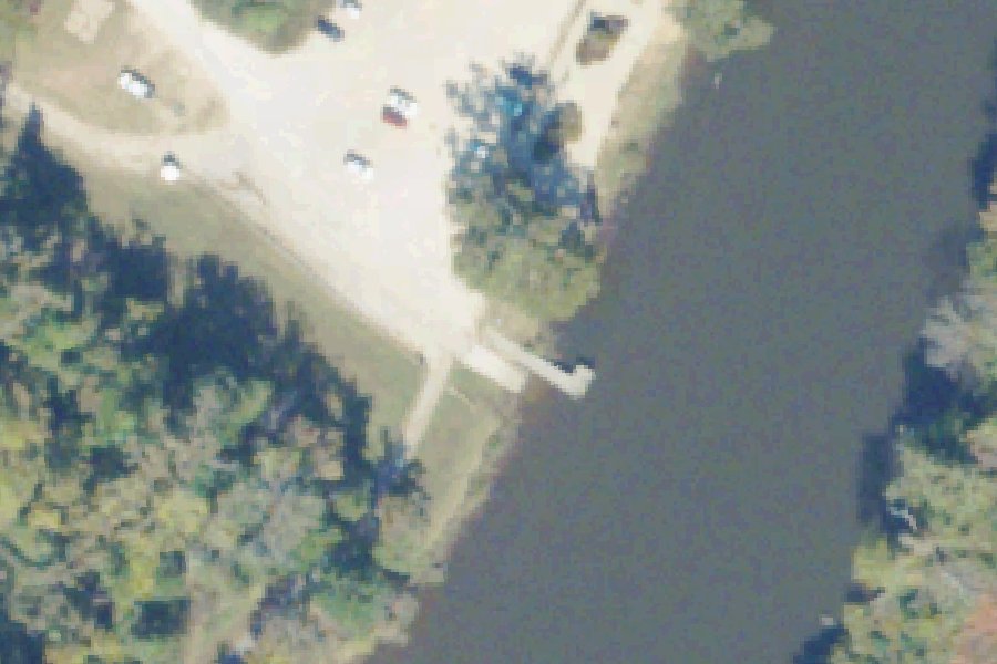
Roslyn Park is a public boat ramp on the Appomattox River near Petersburg, Virginia.
- Tidal
Status not reported No closure has been posted for this launch, but its agency does not publish open or closed status. Check with the managing agency before you tow.
At the launch
- Type
- Boat ramp
- Car parking
- Large lot
- Restrooms
- No
- Tidal
- Yes
- Coordinates
- 37.24459, -77.38098
Conditions
- Weather forecast for this launch · National Weather Service
- Tide predictions at Puddledock, Appomattox River · NOAA, 1.6 mi away
Tides
Predicted highs and lows at NOAA's Puddledock, Appomattox River station, 1.6 mi from this launch, in local time above MLLW. Predictions, not observations: wind and weather move the real tide. Full predictions at NOAA.
| Mon Nov 2 | Low 3:46 am 0.3 ft · High 9:50 am 3.0 ft · Low 4:09 pm 0.4 ft · High 10:13 pm 3.1 ft |
|---|---|
| Tue Nov 3 | Low 4:41 am 0.3 ft · High 10:52 am 3.1 ft · Low 5:10 pm 0.4 ft · High 11:11 pm 3.0 ft |
| Wed Nov 4 | Low 5:34 am 0.2 ft · High 11:51 am 3.2 ft · Low 6:09 pm 0.4 ft |
| Thu Nov 5 | High 12:11 am 2.9 ft · Low 6:26 am 0.2 ft · High 12:49 pm 3.4 ft · Low 7:04 pm 0.3 ft |
| Fri Nov 6 | High 1:11 am 2.8 ft · Low 7:16 am 0.2 ft · High 1:42 pm 3.5 ft · Low 7:54 pm 0.2 ft |
| Sat Nov 7 | High 2:04 am 2.7 ft · Low 8:02 am 0.2 ft · High 2:26 pm 3.5 ft · Low 8:41 pm 0.2 ft |
| Sun Nov 8 | High 2:48 am 2.7 ft · Low 8:46 am 0.2 ft · High 3:04 pm 3.6 ft · Low 9:26 pm 0.2 ft |
On the river
Keep well clear of dams: strong currents and restricted zones above and below them.
- Dam, 8.9 mi upstream: Brasfield Dam (run-of-river dam), 55 ft. · Virginia DCR run-of-river and low-head dams
Up to 10 river miles each way, from the agencies' inventories; not every hazard is listed and rivers change. Scout before you go.
On Appomattox River
River in Virginia. All launches on Appomattox River.
Community
Where people who use Appomattox River talk about it.
Nearby launches
- Pocahontas Island · 1.1 mi · Appomattox River
- Appamatuck Park · 1.5 mi · Appomattox River
- Patton Park · 2.3 mi · Appomattox River
- White Bank Park · 2.7 mi · Swift Creek
- Wilcox Lake Carry-in Access · 3.3 mi · Wilcox Lake
- Appomattox River Regional Park · 5.3 mi · Appomattox River
Sources
- Virginia DCR Water Access Points (statewide public access inventory, Virginia Outdoors Plan) record -77.3810,37.2446 · Public data (Virginia DCR), 'for planning purposes only'; credit Virginia Department of Conservation and Recreation, Recreation Planning and Recreational Resources
- Chesapeake Bay Program Public Access Sites (watershed-wide inventory) record roslyn-park-chesterfield-virginia-appomattox-river · Chesapeake Bay Program: partner-authored data in the public domain (terms of use); accuracy disclaimer only
- OpenStreetMap w1137299049 © OpenStreetMap contributors, ODbL
- OpenStreetMap n6181794701 © OpenStreetMap contributors, ODbL
Why it is listed as public: listed by Virginia DCR Water Access Points (statewide public access inventory, Virginia Outdoors Plan) and Chesapeake Bay Program Public Access Sites (watershed-wide inventory). Something wrong, or is this launch private? Send a correction; it goes to a person.