
Gilead Landing
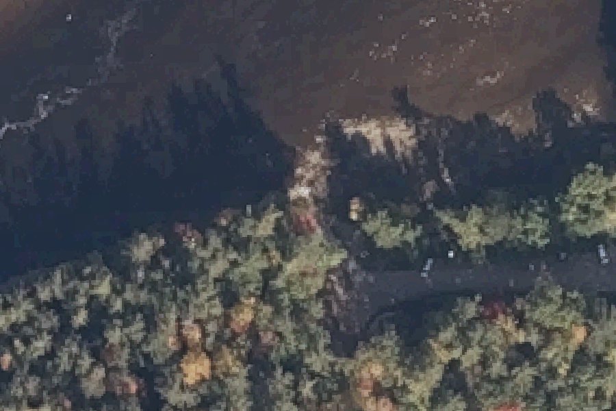
Gilead Landing is a free public boat ramp on the Androscoggin River near Gilead, Maine.
- Free
- Paved ramp
Status not reported No closure has been posted for this launch, but its agency does not publish open or closed status. Check with the managing agency before you tow.
At the launch
- Type
- Boat ramp
- Fee
- Free
- Ramp surface
- concrete
- Coordinates
- 44.39740, -70.97326
Conditions
- Weather forecast for this launch · National Weather Service
- Water level at the Androscoggin River at Bethel, Maine gauge · USGS, 8.8 mi away on Androscoggin River
Water level
Latest reading loads here; without it, see the USGS page below.
USGS gauge Androscoggin River at Bethel, Maine, 8.8 mi from this launch on Androscoggin River: water level, a reading every 15 minutes. Readings and history at USGS.
On Androscoggin River
The Androscoggin River runs through New Hampshire and Maine, and Maine Rivers calls it the state's third-largest river. It begins at Errol, New Hampshire, where the Magalloway River joins the outlet of Umbagog Lake. From there it flows south past Berlin and turns east at Gorham into Maine. It then passes Bethel, Rumford and Dixfield, turns south at Livermore Falls and runs through Lewiston and Auburn and past Lisbon Falls. It reaches tidewater below the last falls at Brunswick and joins the Kennebec River in Merrymeeting Bay. Wikipedia gives its length as 178 miles, while Maine Rivers lists 164 miles. Maine Rivers gives the drainage area as 3,450 square miles, 2,730 of them in Maine. The river drops about eight feet per mile on average, and its water power drove mill towns along its banks. Dams on the river include Rumford, Riley, Jay, Gulf Island, Deer Rips, Lewiston Falls, Pejepscot and Brunswick-Topsham. Pollution from mills there helped inspire the Clean Water Act. More about Androscoggin River.
Community
Where people who use Androscoggin River talk about it.
- Androscoggin River Watershed Council Association
- Androscoggin River Watershed Council (Facebook page) Facebook
- Mahoosuc Land Trust - Trails & Boat Launches Association
- Androscoggin River Trail interactive River Trail Map (ARWC) Link
- Androscoggin River at Rumford, Maine - USGS Water Data Link
- Androscoggin River near Auburn, Maine - USGS Water Data Link
- Search Reddit: r/Maine Reddit
- Search all of Reddit for Androscoggin River, Maine Reddit
Nearby launches
- Shelburne Canoe Launch · 4.7 mi · Androscoggin River
- Androscoggin River Carry-in Access near Bethel · 5.6 mi · Androscoggin River
- Roadside access · 7.2 mi · Reflection Pond
- Lead Mine State Forest · 7.6 mi · Androscoggin River
- Basin Recreation Area · 9.1 mi · Basin Brook Reservoir
- Gorham Hydroelectric Station · 9.4 mi · Androscoggin River
Sources
- OpenStreetMap n11211224125 © OpenStreetMap contributors, ODbL
Why it is listed as public: www.mahoosuc.org: Gilead Landing is 8.7 river miles downstream of Shelburne Dam access, and 8.5 river miles upstream of Newt’s Landing. Parking available for 10 cars, and 4 trailer parking spots.. Something wrong, or is this launch private? Send a correction; it goes to a person.